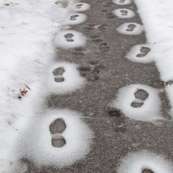
The winter storm expected this weekend is not the only concern for Central Kentucky residents, as some could face slick roads during the Wednesday morning commute.
The National Weather Service issued a winter weather advisory Tuesday afternoon for much of Central Kentucky and parts of southern Indiana, warning that freezing rain and freezing drizzle could develop early Wednesday, with some snow mixing in after sunrise.
“Road temperatures are expected to be well below freezing overnight and what precipitation falls will likely freeze on contact resulting in slick road conditions,” the weather service said. “Conditions will improve by mid-late morning as surface temperatures warm to above freezing.”
The advisory will be in effect from 4 a.m. to 11 a.m. for Fayette County and several surrounding counties, including Bourbon, Woodford, Scott, Clark, Mercer, and Jessamine.
WKYT Chief Meteorologist Chris Bailey said in his weather blog that he expects much of the precipitation to fall as light snow.
As temperatures rise Wednesday, any remaining precipitation is expected to transition to rain. Lexington’s high temperature is forecast to reach 42 degrees, according to the National Weather Service.
Attention then shifts to the weekend, when a significant winter storm is forecast to impact a large portion of the central and eastern United States.
Although exact snow and ice totals have not yet been released, Bailey said the storm, expected to arrive Friday evening, could be a prolonged event bringing snow, ice, and lingering cold temperatures.


Leave a Reply