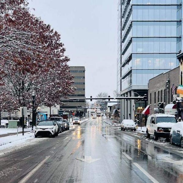
Central Kentucky has experienced one of its coldest and snowiest winter starts this weekend, with snow, sleet, and freezing wind chills sweeping across the region.
Several areas reported around 4 inches of snow on Thursday, with roughly another inch falling early Friday morning. Snow showers and flurries continued through the weekend, while temperatures dropped to single digits and wind chills fell below 15 degrees Sunday morning.
“This Arctic blast is the coldest this early in December since around the same time in 2010,” said WKYT Chief Meteorologist Chris Bailey. “The first half of December will go down as one of the coldest and snowiest starts we’ve ever had to the Meteorological Winter here in Kentucky.”
This weekend marks the third snowfall accumulation of the season. On Nov. 11, Lexington recorded its earliest measurable snowfall in over 30 years. As of Dec. 14, about 5.5 inches of snow have fallen in Lexington this month.
In response to the cold, Lexington’s Office of Homelessness Prevention and Intervention activated its emergency winter weather plan, opening emergency day centers and overnight shelters and expanding capacity to accommodate those in need.
From midnight to 7:30 a.m. Sunday, Lexington Police responded to 12 crashes and 17 weather-related incidents across the city. Drivers are advised to clear snow and ice from vehicles, increase following distance, and reduce speed. Bridges and overpasses remain particularly hazardous due to rapid ice formation.
City crews worked overnight to treat roads, but freezing temperatures continue to make streets slick. Normal December temperatures in Lexington range from a high of 44 to a low of 28 degrees, while last December averaged 41.3 degrees, slightly above the seasonal norm.
Shelbyville holds the state record for the coldest temperature, reaching 37 degrees below zero on Jan. 19, 1994. In Lexington, temperatures on the same day reached about 20 degrees below zero.
The Arctic air mass is expected to move out of the region by Tuesday, with temperatures likely rising above freezing by the afternoon of Dec. 16.
This article has been carefully fact-checked by our editorial team to ensure accuracy and eliminate any misleading information. We are committed to maintaining the highest standards of integrity in our content.


Leave a Reply