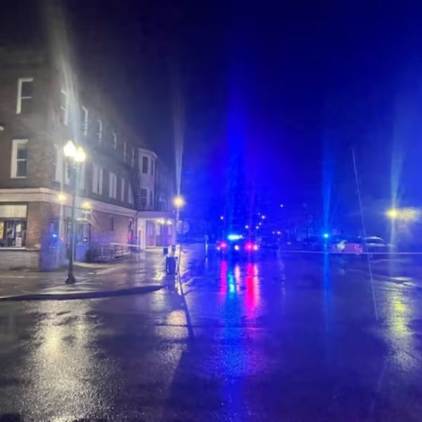
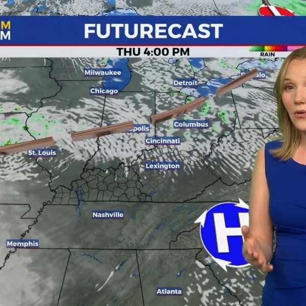
HUNTINGTON, W.Va. (WSAZ) — A springlike day in the middle of winter ended with a bang as nighttime thunderstorms swept through parts of Northern Kentucky, Southern Ohio and Central West Virginia on Thursday.
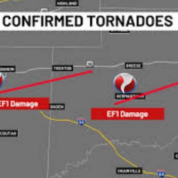
When storm cells in Central West Virginia began showing rotational winds, the National Weather Service issued tornado warnings for parts of Jackson, Roane, Calhoun and Wirt counties in West Virginia. The warnings aligned with severe thunderstorms that carried enough force and moisture to unleash vivid lightning, booming thunder and powerful straight-line winds known as downbursts.
Meteorologist Tony Cavalier tracked the storms as they raced along the Ohio River and interrupted programming early Friday morning to deliver the latest updates.
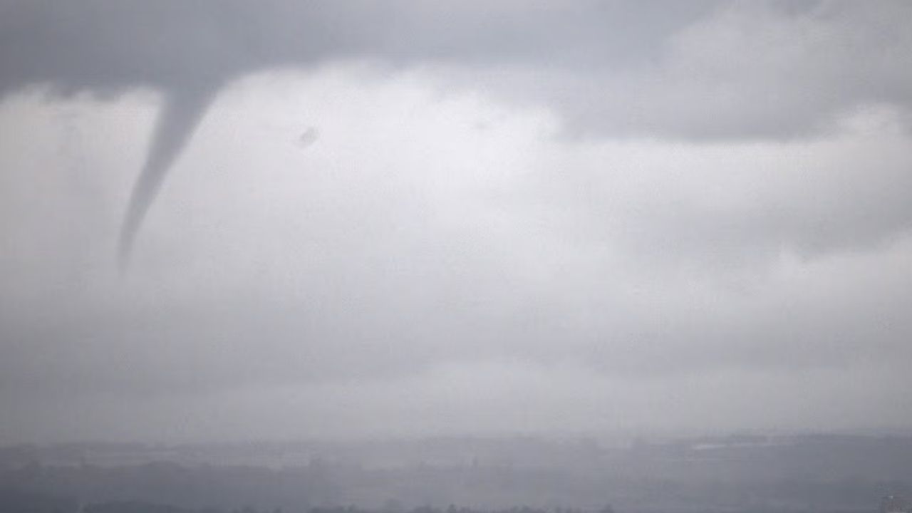
He compared the storms to a young figure skater attempting a spin and jump for the first time. Said Tony, “In order to do the jump perfectly, the figure skater must maintain balance and speed to complete the rotational maneuver. When that jump loses speed or balance the jump fails. Often, these severe thunderstorm circulations spin up a tornado in the clouds (known as a funnel) but they fail to maintain the stability and symmetry needed to complete the rotation down to the ground.”
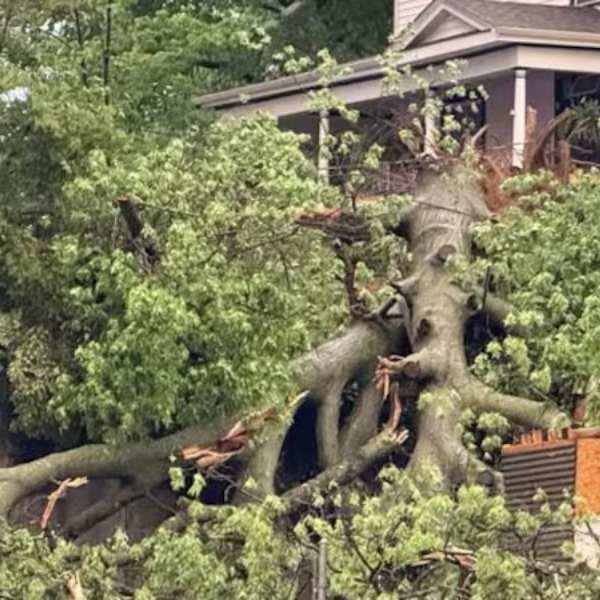
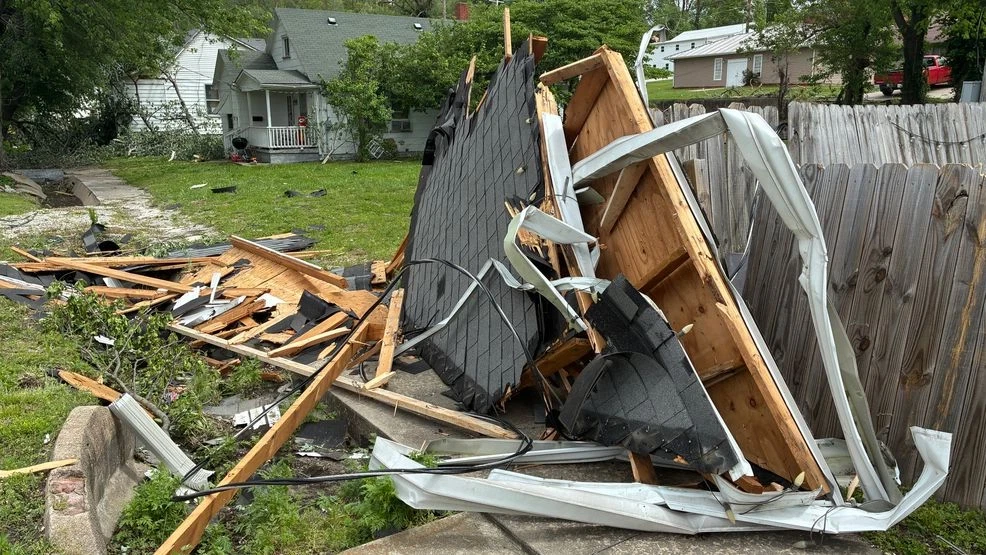
Daybreak will determine whether a tornado actually touched down. Regardless of the outcome, the storm’s path is likely to show signs of straight-line wind or hail damage.
This article has been carefully fact-checked by our editorial team to ensure accuracy and eliminate any misleading information. We are committed to maintaining the highest standards of integrity in our content.



Leave a Reply