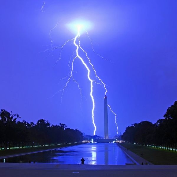
Dark skies stretch over the Midwest’s fields and river valleys, carrying the steady rumble of thunder that signals more trouble ahead.
Storms continue to roll through the region, and despite hopes that conditions would ease, the National Weather Service’s Storm Prediction Center confirms that the severe threat remains. Watch 636, issued late yesterday, is still active from near Poplar Bluff, Missouri, up toward Carbondale, Illinois — a reminder that the weather remains unpredictable.
These storms aren’t passing showers. Strong thunderstorms are prompting emergency crews to stay on alert through the evening, especially across border regions where activity is intensifying.
Areas Most at Risk
The watch includes a mix of counties across three states — southern Illinois, western Kentucky, and southeastern Missouri — right where unstable air is fueling rapid storm development.
Here’s a clear breakdown of the counties under the watch:
Illinois: Alexander, Massac, Pulaski
Kentucky: Ballard, Calloway, Carlisle, Fulton, Graves, Hickman, McCracken, Marshall
Missouri: Butler, Dunklin, Mississippi, New Madrid, Pemiscot, Scott
Residents in these counties are encouraged to take the threat seriously. Local offices in Paducah and Memphis are coordinating closely as conditions evolve.
Hazards Posed by These Storms
Forecasters warn that these storms could produce hail as large as golf balls, winds over 60 mph, and even brief tornadoes if the atmosphere lines up just right.
This setup can quickly lead to downed power lines, flooded roads, and property damage. Radar is already detecting storm cells building near the Mississippi River, adding urgency to the situation.
Why This Watch Is Significant
Watch 636 was issued on November 18th and remains in effect until 10 p.m. CST. The timing surprised many, as fall temperatures often lead people to expect calmer weather. But unstable air masses can form severe storms no matter the season.
Communities near the Ohio River and into Missouri’s bootheel have already reported heavy rainfall, and nighttime conditions reduce visibility, increasing danger.
How to Stay Safe
If you’re in an affected county, keep your phone charged and alerts enabled. Bring in loose outdoor items and avoid driving through intense rain.
A quick list of do’s and don’ts helps highlight key precautions:
Do:
-
Seek shelter indoors away from windows
-
Keep a flashlight and radio on hand
-
Check on neighbors, especially the elderly
Don’t:
-
Ignore radar updates or sirens
-
Go outside to watch the storm
-
Use electrical appliances during lightning
Taking small steps like these can make a major difference when storms intensify.
What’s Ahead
Once the watch expires, the Midwest won’t get a total break. Lingering moisture could cause more showers tomorrow, though the severe threat should decline. Forecasters say another active pattern may develop soon, typical for this time of year as cold and warm air masses clash.
These storms are a reminder of how quickly weather can shift across the heartland. Stay prepared and stay safe.
This article has been carefully fact-checked by our editorial team to ensure accuracy and eliminate any misleading information. We are committed to maintaining the highest standards of integrity in our content.


Leave a Reply