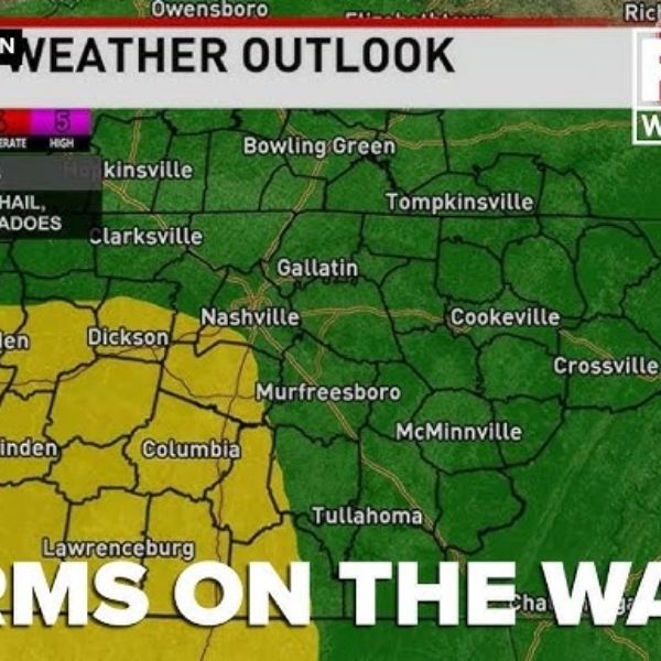
NASHVILLE, Tenn. (WZTV) — A Code Red weather alert is in effect for Middle Tennessee and Southern Kentucky as a wet and potentially stormy Friday approaches.
Showers are expected to begin late Thursday night and continue into Friday morning.
The main storm threat develops Friday afternoon, roughly between noon and 8 p.m., when stronger storms are forecast to move through the region.
While severe storms are expected to be isolated, areas that are impacted could see strong winds and heavy rainfall.
There is a low chance of a brief tornado, but the overall risk remains minimal.
Heavy rain may linger into Friday evening, with rainfall totals between 1 and 3 inches possible by Saturday morning.
Some locations could experience isolated flash flooding due to pockets of heavier rain.


Leave a Reply