Highs remain above average with gusty winds expected
After a foggy start to Wednesday with reduced visibility during the early morning hours, drier air gradually moved into Central and Eastern Kentucky as a weak boundary shifted southeast of the region. Some sunshine returned during the afternoon, allowing temperatures to climb into the mid-50s, with a few southern locations reaching the low 60s. That’s about 10 to nearly 20 degrees above average for early January, making for a pleasantly mild midweek.
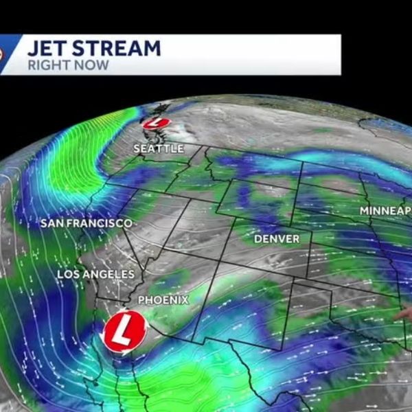
This unseasonably warm air will stick around into late week as the overall weather pattern turns more active and unsettled for a few days. Thursday should be a fairly nice day despite scattered clouds, as the first of several low-pressure systems approaches the Commonwealth. Southeast winds will increase to around 10 to 15 mph, with gusts reaching 25 to 30 mph at times. These winds will help push afternoon highs into the low to mid-60s. The first round of rain and storms is expected Thursday evening into the early hours of Friday, setting the stage for more active weather to end the week.
On Friday, part of the day may stay dry as the region briefly sits between weather systems. Even so, expect another breezy and mild day with clouds at times. Strong southwest winds of 10 to 20 mph, with gusts over 30 mph, will drive temperatures into the mid to upper 60s—nearly 20 degrees above average for this time of year. Additional rain and thunderstorms will arrive later in the day. While the best chance for stronger storms remains southwest of the area, the strong wind fields and a setup similar to recent events mean a close watch will be needed for any low-end severe weather.
A third wave, accompanied by a true cold front, will move in over the weekend. Showers will continue into Saturday, with temperatures falling through the day as colder air filters into the region. Rainfall totals over the two- to three-day period could reach 1 to 2 inches in many locations, with locally higher amounts possible in southern counties.
By Sunday, it will feel much more like January as colder air settles in behind the front. Afternoon highs will struggle to reach the low 30s. A mid-level disturbance could bring a few light snow showers across the Ohio Valley, otherwise expect a mix of clouds and sunshine with chilly conditions. Temperatures will slowly moderate early next week, with highs returning to the upper 30s to low 40s on Monday and into the mid-40s by Tuesday as high pressure brings a quieter weather pattern.
Wednesday Night: A few clouds and cool. Lows in the upper 30s to low 40s. Winds southeast around 5 mph.
Thursday: Scattered clouds, breezy and mild. Highs in the low to mid-60s. Winds southeast 10 to 15 mph.
Thursday Night: Occasional rain and a few thunderstorms. Temperatures remain steady, with lows in the upper 50s. Winds southwest 10 to 15 mph.


Leave a Reply