LEXINGTON, Ky. (WKYT) — Mild winds are blowing across the Commonwealth today, but major weather changes are on the way. By late Sunday into Monday, an early taste of winter could bring some festive snowflakes to the region.
Temperatures are climbing into the 60s today, carried by strong south to southwest winds. Gusts could reach up to 35 mph this evening.
A weak cold front will move in tonight, dropping temperatures several degrees for Thursday. Many areas will see highs in the upper 50s under clear, pleasant skies — a good day to enjoy the calm before the change.
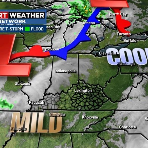
By Friday, clouds and winds will pick up quickly as another cold front approaches from the west. Showers and a few thunderstorms are expected to move from west to east Friday afternoon and evening. Winds near this boundary could spike around 40 mph, and some storms may turn strong or even severe.
From Sunday through Tuesday, the setup looks straight out of winter. A deep dip in the jet stream will sweep across the eastern U.S., sending low pressure into the Ohio Valley before it strengthens and moves northeast.
Gusty winds, rain, and plunging temperatures will accompany this system. By Sunday night and Monday, cold northwest winds will combine with a weak upper-level disturbance to produce snow showers and flurries, especially in central and eastern Kentucky.
Forecasters agree on one thing — it’s going to be cold. Wind chills will drop into the teens Monday and Tuesday mornings, bringing a frigid start to November.
This article has been carefully fact-checked by our editorial team to ensure accuracy and eliminate any misleading information. We are committed to maintaining the highest standards of integrity in our content.


Leave a Reply