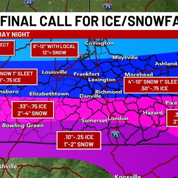
Louisville, Kentucky — A turn toward colder-than-normal conditions during the Jan. 20–24 period is raising concerns about winter weather across much of Kentucky, especially if precipitation coincides with colder air. While significant snowfall is not certain, the developing pattern increases the risk of snow or ice in both western and eastern parts of the state.
According to the National Weather Service Climate Prediction Center, Kentucky has a 50–60% chance of below-normal temperatures during the Jan. 20–24 timeframe. Precipitation probabilities remain above normal at 40–50%, a combination that supports the potential for wintry precipitation, particularly overnight and during early morning hours when temperatures are most favorable for snow or ice.
In Louisville and much of central Kentucky, daytime highs may stay close to seasonal averages, but overnight temperatures are expected to drop below freezing. That setup could allow rain to mix with or transition to snow if weather systems move through during colder periods. Western Kentucky, including areas near Owensboro, Paducah, and Bowling Green, could also see snow or a wintry mix if colder air strengthens behind passing systems. Eastern Kentucky, especially along the Appalachian foothills and higher elevations near Hazard, Pikeville, and the Mountain Parkway, faces a greater chance of snow as colder air typically lingers longer in those areas.
Major travel corridors such as I-64, I-65, I-75, the Western Kentucky Parkway, and the Blue Grass Parkway may become slick during episodes of wintry precipitation, particularly overnight and during the morning commute. Cold road surfaces could allow snow or ice to persist on untreated roads, bridges, and overpasses.
Residents are urged to prepare ahead of the Jan. 20–24 window by staying updated on weather forecasts, checking heating systems, and making sure vehicles are ready for winter conditions. While major snowfall is not guaranteed, the evolving pattern supports the possibility of at least one impactful winter weather event across Kentucky.
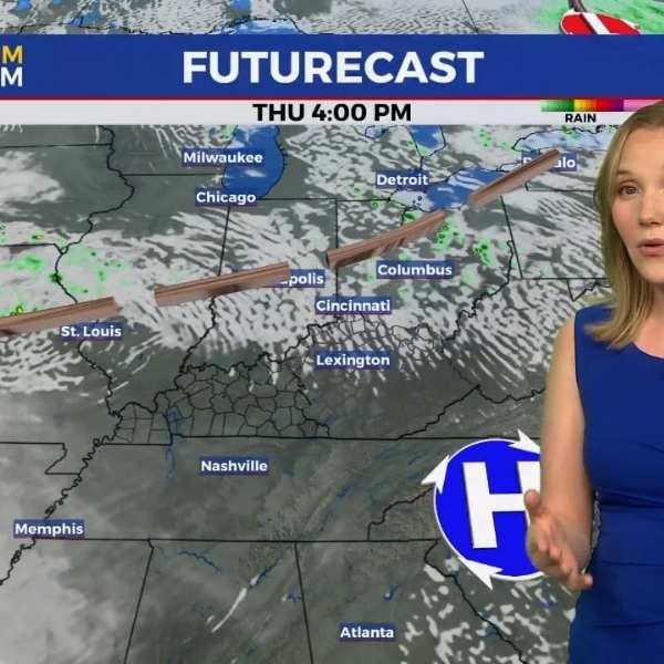
This cooler pattern is expected to continue into late week, with additional advisories or alerts possible as confidence grows regarding timing and potential impacts.




Leave a Reply