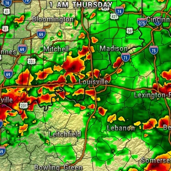
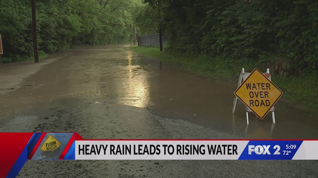
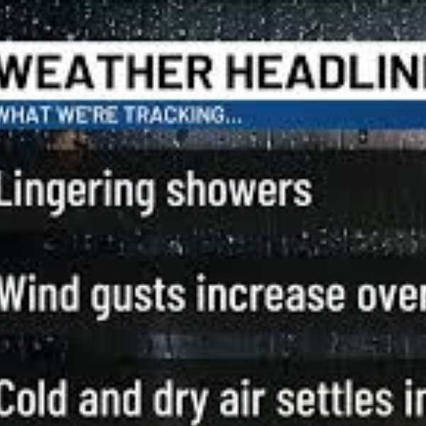
A slow-moving low-pressure system will bring multiple rounds of showers and thunderstorms across the region today. While the severe weather threat remains very low, localized flooding is possible through tonight.
The Storm Prediction Center currently places parts of Kentucky under a Level 1 (Marginal) risk of severe storms.
Rainfall totals could reach anywhere from ½ inch to 3 inches in isolated areas by late tonight.
By Thursday, the region will be on the backside of the system, with only a few isolated showers possible. Overall, Indiana is expected to remain drier than Kentucky.
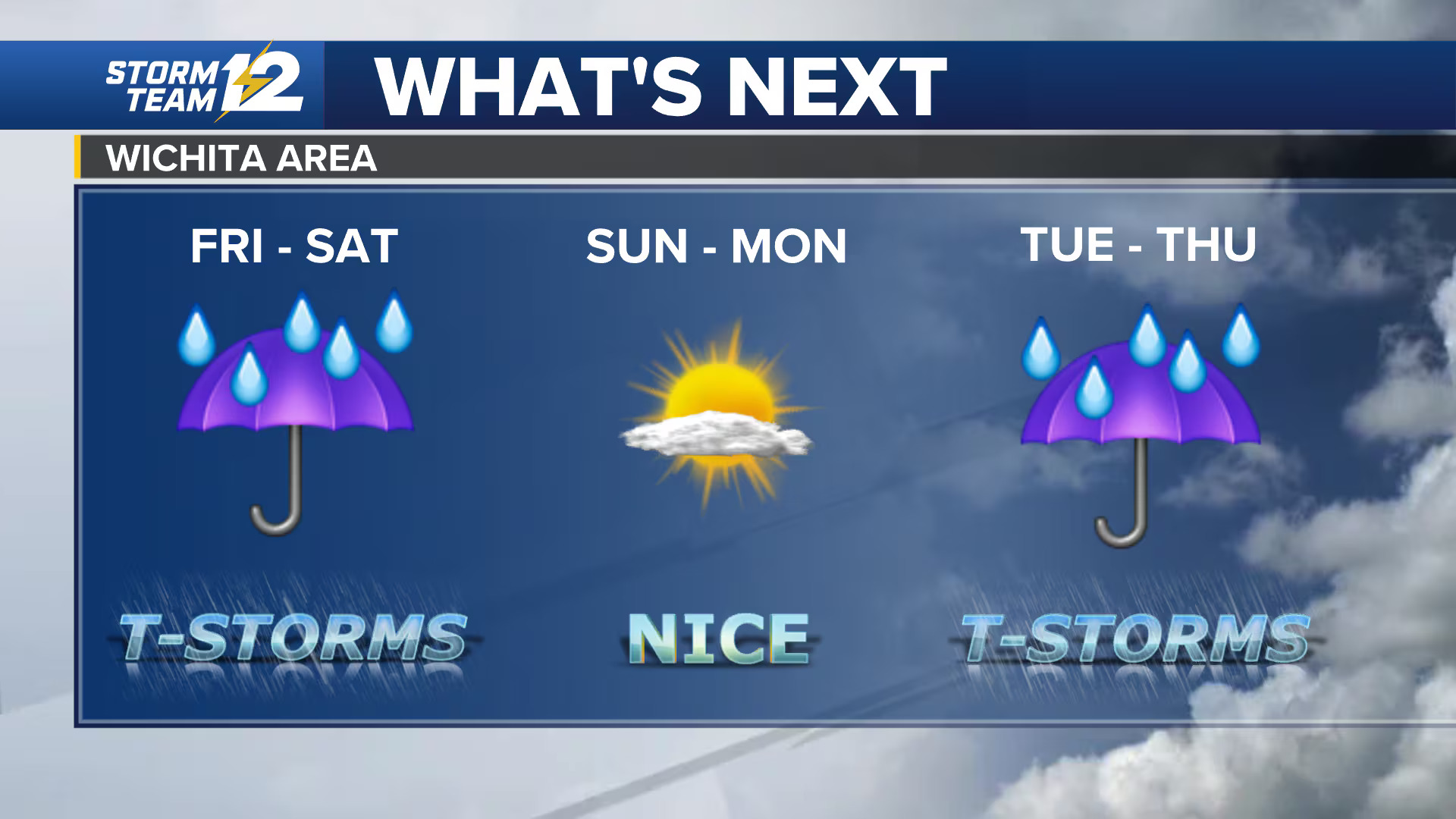
Looking ahead, the first weekend of fall should be seasonably warm and dry, potentially kicking off a longer dry spell through next week.
This article has been carefully fact-checked by our editorial team to ensure accuracy and eliminate any misleading information. We are committed to maintaining the highest standards of integrity in our content.


Leave a Reply