

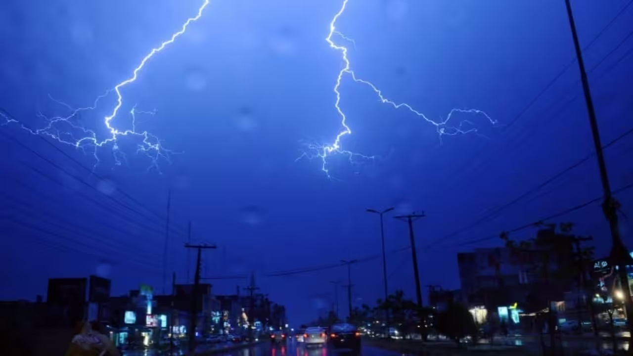
WBZ-TV’s NEXT Weather Team has issued a NEXT Weather Alert for the Boston area, predicting heavy rain through Monday.
After a peaceful and mostly dry weekend, things change at the start of the workweek as a cold front brings back heavy rain and strong winds, as well as some isolated thunderstorms.
While extensive flooding appears improbable, the system will transport a lot of moisture, making some localised flooding possible, particularly if any locations receive several downpours. Total rainfall levels will range from a quarter-inch to two inches. There may be isolated amounts of 2 to 4 inches of rain in certain areas.
Right now, it appears that the biggest totals will be in central and western Massachusetts, with fewer totals in southeastern Massachusetts.
Gusty winds will also be present throughout the day, with gusts above 30 mph probable, first from the south and then turning to the west and north-west until the front passes through Monday evening.
Showers and downpours will occur intermittently throughout the day Monday. Any showers or storms might cause fast downpours, making driving difficult and resulting in minor street flooding, particularly in urban and poor drainage regions.
The good news is that it’s a fast-moving system, with skies clearing late Monday evening and returning to brightness on Tuesday.
The humidity is expected to persist, and as temperatures increase during the week, unsettled conditions return, with the possibility of a pop-up shower or storm in the middle to late week. This shower chance will coincide with heat index readings reaching the mid to upper 90s. As always, the WBZ Next Weather Team will keep you informed on air and online about any changes to the forecast.





Leave a Reply