

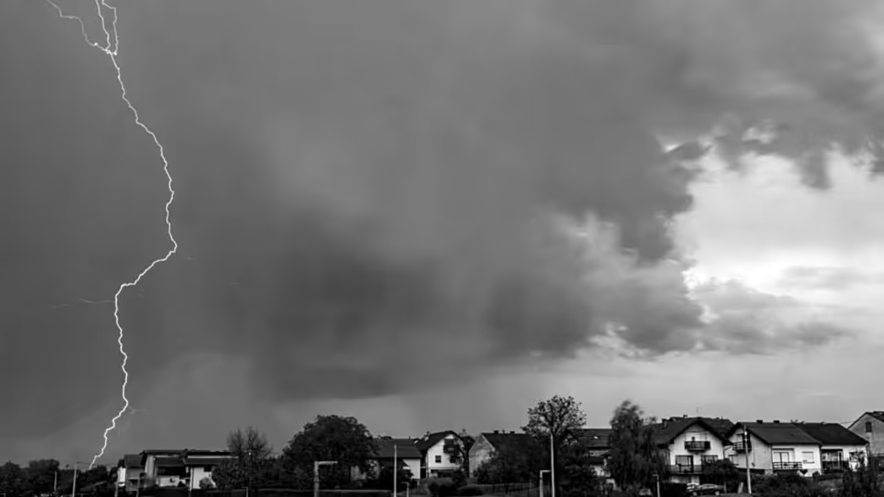
The National Weather Service’s Storm Prediction Center is closely monitoring a widespread severe thunderstorm danger that could hit much of the eastern United States on Tuesday.
Forecasters have identified an increased risk of severe weather extending from parts of the Ohio Valley to the Mid-Atlantic region, indicating that conditions may become quite active.
At the center of this setup is an upper-level trough that moves through the area, accompanied by a number of minor disturbances that will help stir up the atmosphere.
On the ground, a cold front will move eastward through the Midwest, while a prefrontal trough will form ahead of it across western and central New York and into the Mid-Atlantic.
This dynamic system is bringing a lot of precipitation into the region, with dewpoints reaching the mid-60s to low 70s. When combined with midday heating, this should feed moderate to high instability, providing ample fuel for thunderstorms to form and intensify.
Wind profiles also appear favorable, with strong flow aloft that might support structured storm structures such as supercells and bowing line segments.
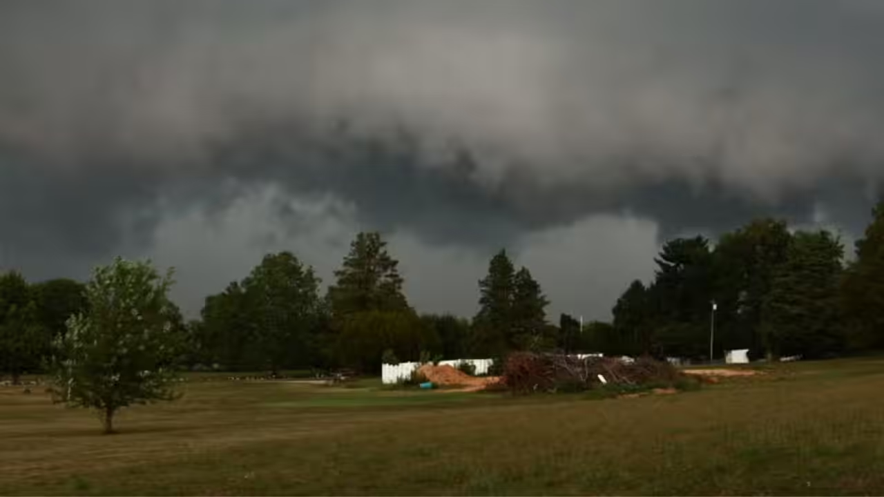
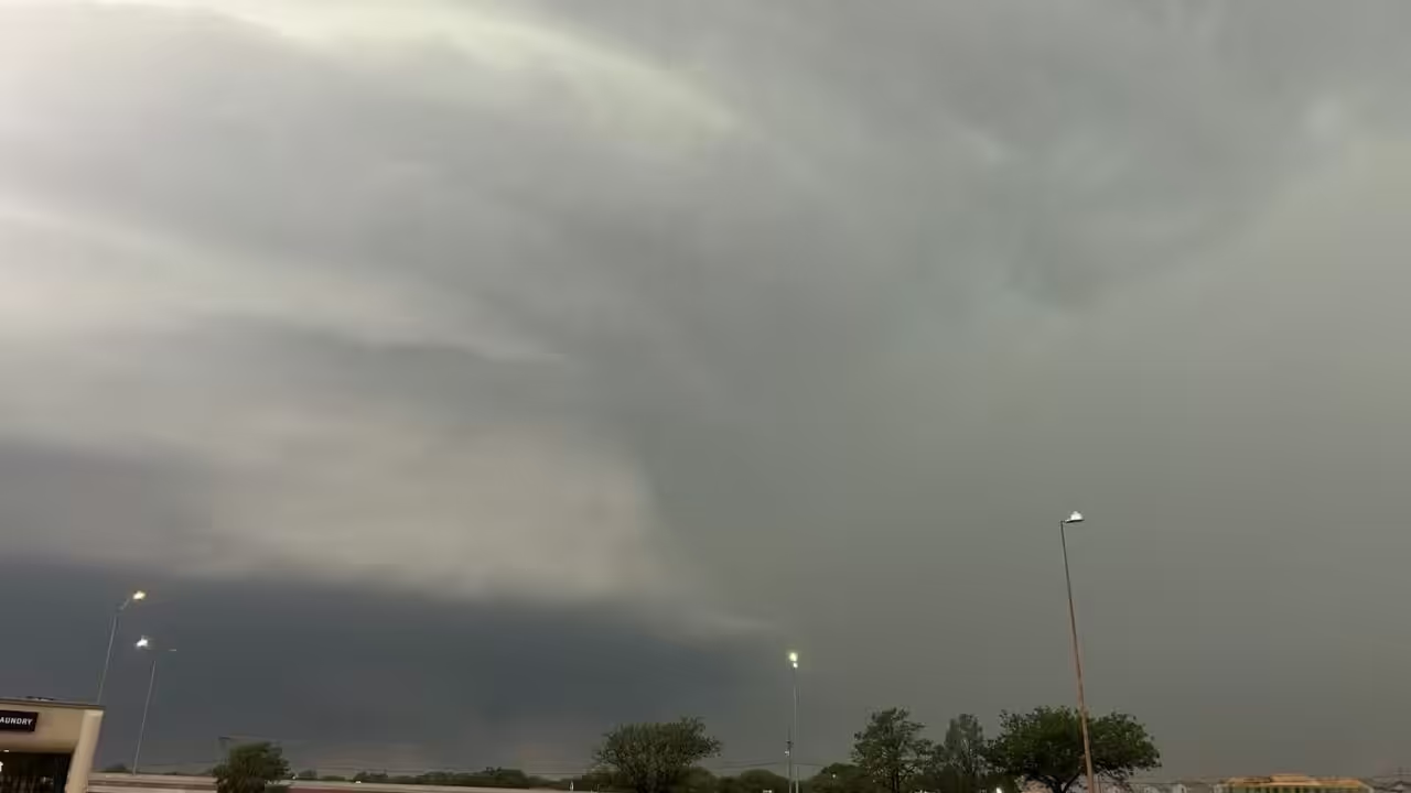
That type of environment frequently produces damaging winds as the primary concern, though hail and even a few tornadoes cannot be ruled out where individual cells remain discrete and continue to rotate. The specific storm mode—whether we see more isolated supercells or long, sweeping lines—is still uncertain, but the general ingredients indicate to the possibility of strong winds that might cause problems, particularly Tuesday afternoon into the evening and overnight.
The elevated danger zone extends across a large area, encompassing southern Indiana, northeast Kentucky, southern and eastern Ohio, West Virginia, northern Virginia, Maryland, and Pennsylvania. Cities such as Pittsburgh, Lexington, and Youngstown are located in this high-threat corridor, where the combination of moisture, instability, and shear can produce the most powerful storms.
Broader mild and marginal threats extend much further, into the Northeast, including New York City and Philadelphia, as well as sections of the Midwest and Southeast.
While temperatures aloft are warming, which may reduce the threat of hail, the main story remains the possibility of widespread damaging winds if storms form well-organized clusters or lines.
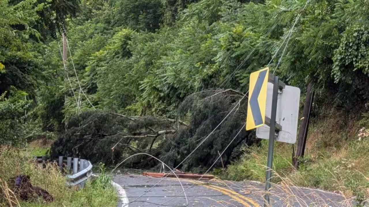
Residents in these areas should be aware of the weather, particularly in the afternoon and evening, when the threat is most likely to peak. Prepare a plan for power outages, flying debris, or localized flooding, as these conditions can result in fast-moving, damaging weather.
As with any of these forecasts, things can change as we approach closer, so check back with local forecasts and the National Weather Service for the most recent information. Tuesday appears to be one of those days when paying attention to the sky—and keeping your alerts turned on—could make all the difference.








Leave a Reply