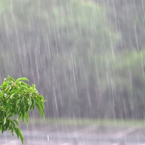
CHARLESTON, W.Va. — After months of dry weather, West Virginia is finally getting some relief as steady rainfall moves across the state this week, helping to ease ongoing drought conditions in several counties.
According to the National Weather Service (NWS), rain will begin Tuesday evening, continue through Wednesday, and taper off early Thursday morning.
“It’s going to be a couple waves of rain, a couple waves of showers,” said Joe Curtis, a meteorologist with the NWS office in Charleston. “It’s not going to be all during a short period of time. It’s going to be a prolonged rain, which means we’ll get a little bit Tuesday night, some more on Wednesday and then some more Wednesday night.”
Curtis said the entire state will see rainfall, though totals will vary.
“It is going to be a statewide rain for the most part,” he explained. “The northern panhandle may not get quite as much, while the central and southern regions, especially along and south of I-64, could see one to two inches of rain. Northern areas may see closer to half an inch to an inch.”
The latest U.S. Drought Monitor Map shows parts of 12 counties still under “extreme drought” conditions, including Braxton, Clay, Grant, Hampshire, Hardy, Lewis, Mineral, Nicholas, Randolph, Tucker, Upshur, and Webster.
Curtis said the timing of this rain couldn’t be better.
“This rain definitely is needed. We’ve had a really dry period over these couple of months, but we are starting to transition into that time where we’re seeing storms that come more often,” he said. “We’re moving from our typical dry season back into the wet season again. This is pretty typical and it’s going to be beneficial for a lot of us.”
As of now, no flood watches or warnings have been issued, but Curtis noted that could change depending on rainfall totals.
This article has been carefully fact-checked by our editorial team to ensure accuracy and eliminate any misleading information. We are committed to maintaining the highest standards of integrity in our content.


Leave a Reply