Here are the key details to know about the weather over the next week. A notably cold pattern is developing, with snow expected for some areas.
Here’s my video if you prefer getting weather updates through video.
Limited Snowfall Expected for Most of Lower Michigan
Although notable weather changes are approaching Michigan, most of the Lower Peninsula is expected to receive relatively light snow accumulations of one to three inches. The main exception will be areas within the lake-effect snow belt, especially from South Haven south through South Bend and Gary, Indiana, where six to twelve inches of heavy snow is forecast by late Thursday. Northern locations near Traverse City, Manistee, and Ludington could see brief bursts of two to four inches during the Wednesday morning hours. This localized heavy snow will result from a north-northwest wind pattern that produces a narrow yet intense lake-effect snow band roughly fifty miles wide along the southern end of Lake Michigan.
Total snowfall forecast through 7:00 a.m. Thursday. NOAA
Arctic Front Reaches Michigan Wednesday Morning as Temperatures Drop
An arctic front will move through Michigan late tonight into Wednesday morning, bringing a sharp change in conditions. Tuesday will remain mild, with highs reaching the low 40s in southern Michigan and the mid-30s in northern areas, accompanied mostly by rain showers that should diminish by afternoon. Once the front passes between 6 and 8 a.m. Wednesday, temperatures will fall quickly into the upper teens and low 20s. By Thursday, highs will struggle to reach the teens to near 20 degrees statewide, marking a temperature drop of more than twenty degrees compared to Tuesday’s mild weather.
True Arctic Blast Expected Next Week with Sub-Zero Mornings
The coldest air of the season is expected early next week, around Tuesday, January 20th. Surface temperature anomaly maps suggest Michigan will see temperatures about twenty degrees below normal, with daytime highs barely reaching 10 degrees and morning lows falling to zero or below, possibly dipping to minus ten to minus fifteen degrees. This period represents what can be described as true Arctic air, arriving during the climatologically coldest part of winter. While widespread records are not guaranteed, isolated cold records are possible, particularly for daytime highs, which are easier to break than extreme record lows near minus twenty-five degrees.
Alberta Clippers to Deliver Repeated Cold and Snow
Several Alberta Clipper systems are expected to pass through Michigan over the next ten days, bringing repeated shots of cold air and occasional snow. The first clipper arrives Friday into Saturday, briefly pushing temperatures closer to freezing on Friday before colder air returns over the weekend, with highs near twenty degrees. Another clipper is expected the following week. These fast-moving systems usually do not produce major snowstorms, but they help maintain cold conditions and trigger intermittent snow showers across the state. This pattern reflects an active jet stream dipping south from Canada through the northern Rockies and Plains into Michigan.
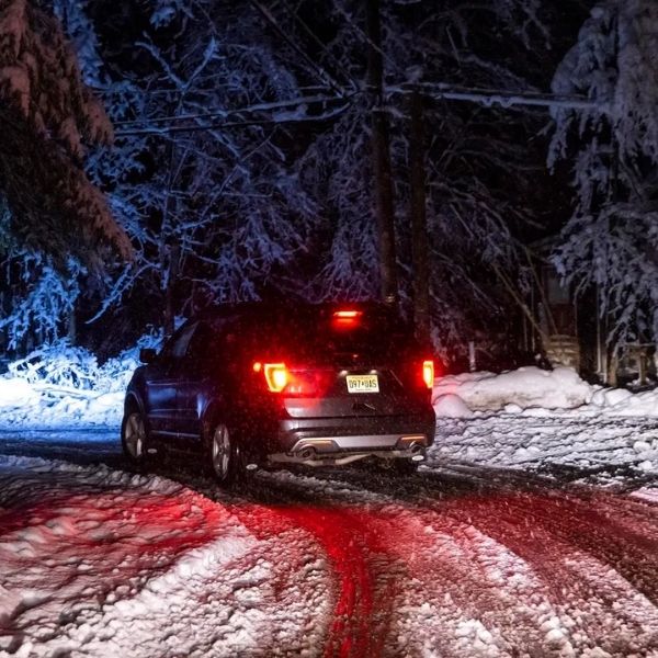
Travel Conditions Worsen Wednesday, Extra Caution Advised for Chicago-Bound Travel
Travel conditions today remain fairly manageable despite wet weather, as rain showers taper off and pavement temperatures stay warm enough to limit problems. Conditions will deteriorate quickly Wednesday after the arctic front moves through and temperatures drop. The first inch of snow often creates the most hazardous travel, leading to slick roads along I-94 and other major routes Wednesday morning. Travelers heading toward Chicago from Wednesday evening through Thursday should expect especially dangerous conditions, with a narrow but intense lake-effect snow band producing six to twelve inches of snow near the southern end of Lake Michigan. West of this band, conditions typically turn sunny but very cold as you approach the Chicago area.


Leave a Reply