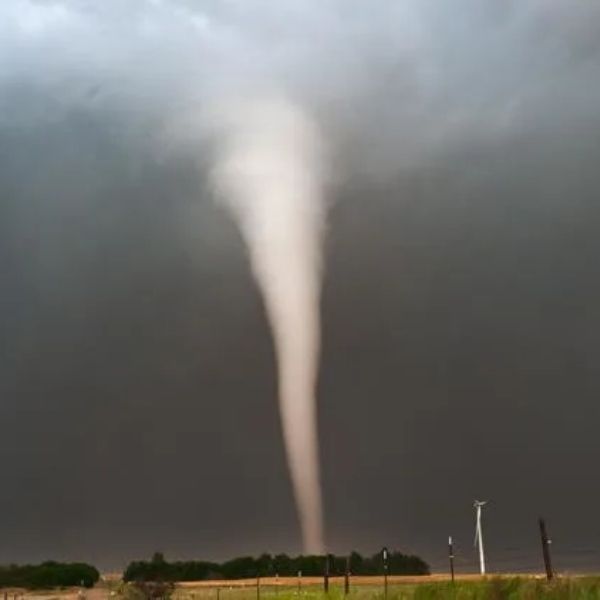
Severe weather is expected to move through the region Sunday night into early Monday, prompting several watches and warnings across Kentucky and southern Indiana.
According to the National Weather Service, a tornado watch remains in effect until 5 a.m. Monday for multiple counties as storms capable of producing tornadoes move through the area.
Forecasters say the strongest storms are expected to arrive between 10 p.m. Sunday and 2 a.m. Monday.
Kentucky Alerts
A severe thunderstorm warning was issued for Shelby County, Kentucky and Henry County, Kentucky until 1 a.m.
Another severe thunderstorm warning was issued for Breckinridge County, Kentucky and Meade County, Kentucky until midnight Monday.
A tornado watch remains in effect until 5 a.m. Monday for the following Kentucky counties:
-
Adair County, Kentucky
-
Breckinridge County, Kentucky
-
Bullitt County, Kentucky
-
Carroll County, Kentucky
-
Grayson County, Kentucky
-
Green County, Kentucky
-
Hardin County, Kentucky
-
Hart County, Kentucky
-
Henry County, Kentucky
-
Jefferson County, Kentucky
-
Larue County, Kentucky
-
Marion County, Kentucky
-
Meade County, Kentucky
-
Nelson County, Kentucky
-
Oldham County, Kentucky
-
Shelby County, Kentucky
-
Spencer County, Kentucky
-
Trimble County, Kentucky
Indiana Alerts
A tornado watch has also been issued for several counties in southern Indiana until 5 a.m. Monday, including:
-
Clark County, Indiana
-
Crawford County, Indiana
-
Floyd County, Indiana
-
Harrison County, Indiana
-
Jackson County, Indiana
-
Jefferson County, Indiana
-
Jennings County, Indiana
-
Orange County, Indiana
-
Scott County, Indiana
What a Tornado Watch Means
Officials say a tornado watch means weather conditions are favorable for storms capable of producing tornadoes, though a tornado has not necessarily been spotted.
Residents are urged to stay alert for weather updates and have a plan in place in case warnings are issued overnight.


Leave a Reply