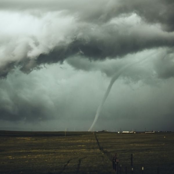
A severe storm watch is in effect through 10 p.m. Central for parts of Illinois, Kentucky, Missouri, and Tennessee as strong thunderstorms move across the Mid-South. Forecasters warn that some storms could intensify quickly, bringing tornadoes, large hail, and damaging winds.
The Storm Prediction Center says the watch area could see a couple of tornadoes, hail up to two inches in diameter, and wind gusts reaching 65 mph as a fast-moving line of storms pushes east tonight.
Severe Weather Zone Spans Four States
The watch stretches across a wide corridor from Cape Girardeau, Missouri, through Paducah, Kentucky, into northwest Tennessee near Murray and Huntingdon, and west into southeast Missouri and northeast Arkansas near Blytheville.
Communities such as Jonesboro, Kennett, and Clarksville are on alert as the storm system strengthens.
Radar shows clusters of thunderstorms forming along a warm front and moving northeast, supported by unstable air and strong wind shear — the key factors for severe weather.
“These storms are capable of all hazards — including large hail and isolated tornadoes — especially through early tonight,” meteorologists said in an evening update.
Main Threats: Hail, Damaging Winds, and Tornado Potential
The most significant risks include hail the size of golf balls and straight-line winds around 65 mph that could damage vehicles, roofs, and trees.
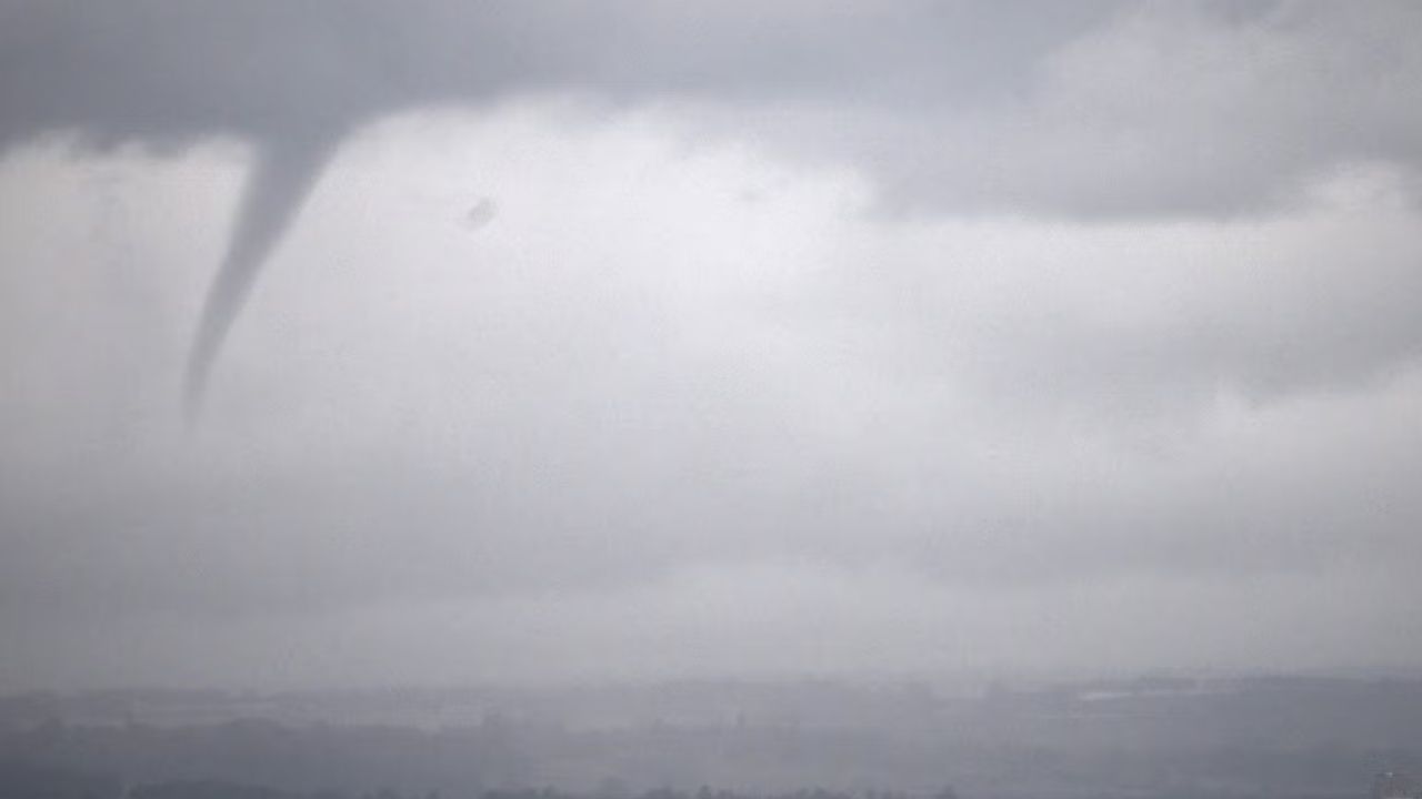
Forecasters are also monitoring the chance of brief tornado spin-ups, especially in southern Illinois and western Kentucky, where radar shows increasing atmospheric rotation.
As storms move into a more moisture-rich area near the Mississippi River, the risk of flooding and heavy downpours increases. Several rounds of rain may develop before the cold front moves east overnight.
Residents Warned to Stay Alert After Dark
Meteorologists stress that nighttime storms are more dangerous because tornadoes are harder to see and warnings may go unnoticed.
Residents are encouraged to:
-
Keep phones charged with alerts on.
-
Monitor local weather updates and NOAA radio warnings.
-
Have a safe shelter plan, preferably an interior room or basement away from windows.
“This is not a night to ignore warnings,” one forecaster said. “Even one strong storm could cause serious damage.”
Social Media Users Express Growing Concern
People across the watch area are sharing videos and updates as lightning flashes across the sky.
A Paducah resident posted:
“Radar’s glowing red again — it’s like we never get a quiet week.”
A Missouri storm chaser near Poplar Bluff wrote:
“These updrafts mean business. The air is thick and ready to blow.”
Some have also mentioned rising flood concerns, reporting heavy rain along roads in parts of southeast Missouri and western Tennessee.
Overnight Outlook: Storms Move East
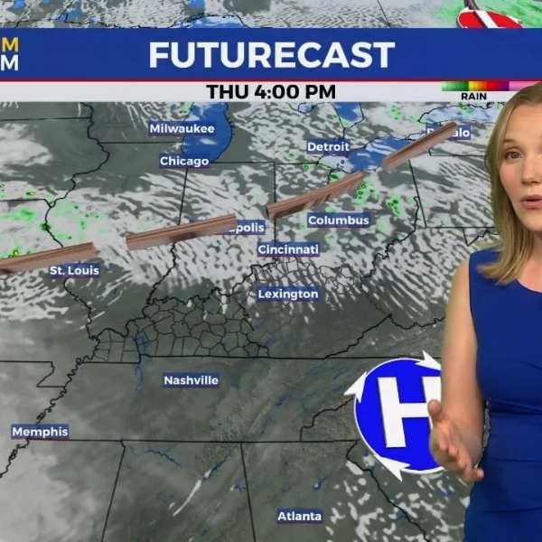
Storms should continue late into the night before weakening after midnight as the front shifts east. However, meteorologists say one or two strong cells could linger past 10 p.m., especially near the Mississippi and Ohio River valleys.
Cooler, drier air will move in Thursday, offering a short break from severe weather, but forecasters warn that another storm system may form early next week.





Leave a Reply