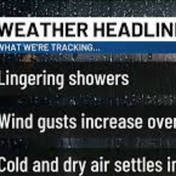
The Bluegrass is seeing a wet start to Wednesday, with scattered showers and a few rumbles of thunder moving through as a low-pressure system tracks across the region. Rain will gradually taper off from southwest to northeast, while clouds linger through much of the morning.
Periods of drizzle are expected to continue into the late afternoon.
As a cold front passes, winds will shift to the northwest and bring in cooler, drier air. Skies will slowly clear later in the day, setting up a much cooler night with temperatures falling into the 40s.
Cooler and quieter conditions take over
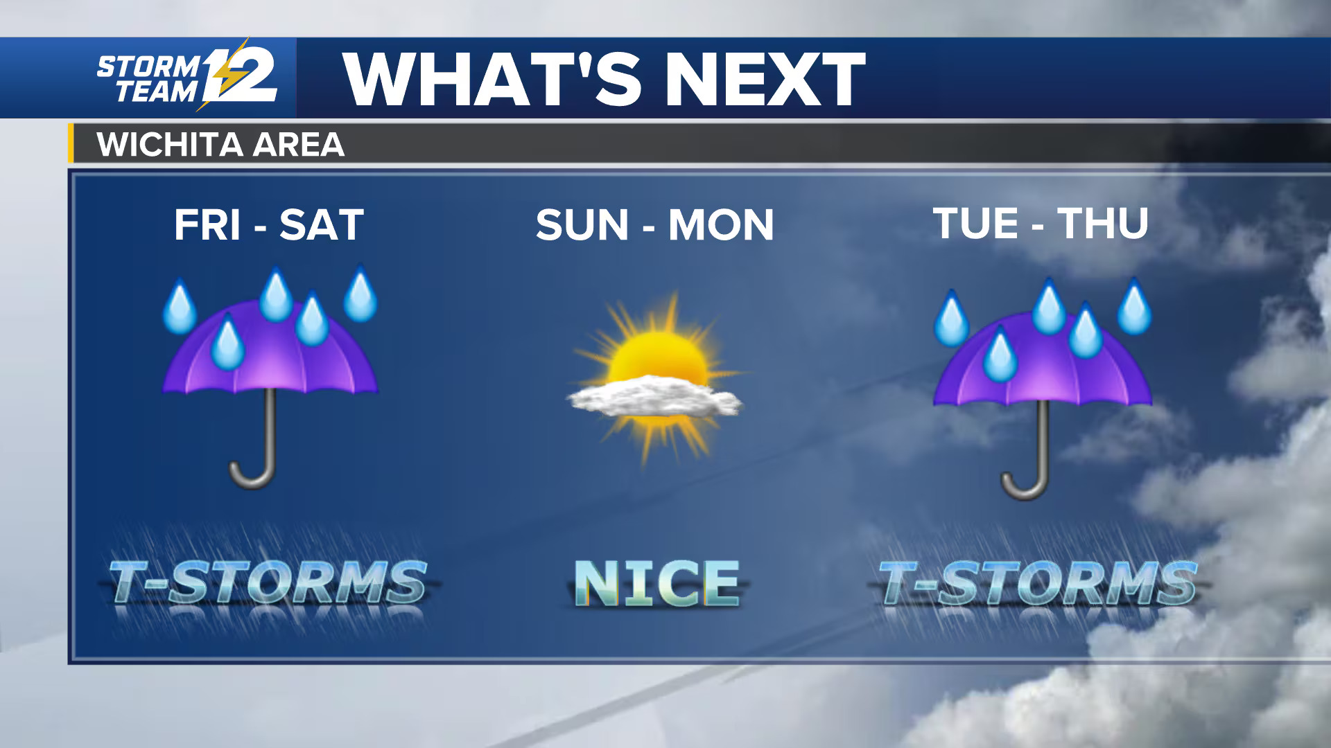
A noticeable change arrives Thursday. High pressure will build in, delivering dry weather and a more comfortable air mass. Afternoon highs will reach only the low to mid-60s, with lower humidity creating a pleasant spring day.
Spotty showers return Friday
The quiet pattern won’t last entirely. A passing disturbance could bring isolated to scattered showers late Friday morning into the afternoon. Limited moisture means rainfall should remain light and brief, with many areas seeing little to no accumulation.
Weekend stays cool with limited rain
Rain chances stay low through the weekend, though southern Kentucky could see a few light showers as a system passes to the south. Central and eastern Kentucky will likely remain mostly dry or experience minimal impacts.
Temperatures will stay on the cooler side, with highs in the low to mid-60s and chilly nights dropping into the upper 30s and low 40s.
Frost risk by Sunday morning
Clear skies and light winds may create favorable conditions for frost, especially across eastern Kentucky. Temperatures could fall into the mid to upper 30s, allowing patchy frost to develop in colder valleys and sheltered areas.
Active pattern returns next week
The quieter stretch will be short-lived. Warmer air will begin to return early next week as winds shift back from the south. At the same time, a more active weather pattern will develop, bringing increasing chances for showers and storms through the first half of the week.


Leave a Reply