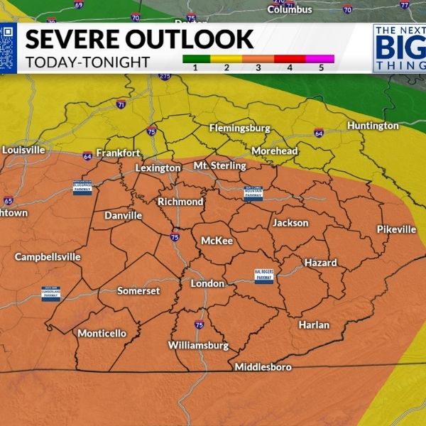
Louisville, Kentucky — The Storm Prediction Center has placed much of Kentucky under a Day 4 severe weather outlook for Thursday, February 19, 2026, issuing an early alert for possible strong storms later this week. The outlook indicates a 15–29% probability of severe storms occurring within 25 miles of any location, a level meteorologists consider significant at this range.
The highlighted zone spans a large portion of the state, including Louisville, Lexington, Frankfort, Bowling Green, Owensboro, Madisonville, and Paducah. Northern areas near Covington also fall within the risk area, while southeastern communities such as London, Corbin, Williamsburg, and Prestonsburg sit closer to the outer edge of the outlook.
What the 15–29% Risk Means
A 15–29% risk does not guarantee severe weather. Instead, it represents the probability that at least one severe thunderstorm could develop within 25 miles of any point inside the shaded region. For a Day 4 projection, this probability suggests atmospheric conditions may come together to support strong storms.
Forecasters stress that this is not a warning but an early indication that the overall weather pattern is trending toward instability. As more data becomes available over the coming days, details regarding timing and intensity will become clearer.
The outlook map places much of central and western Kentucky firmly inside the risk area, with the higher probability zone centered near Louisville and stretching southwest toward Paducah.
Potential Hazards Later This Week
In February patterns like this, meteorologists often watch for damaging wind gusts, heavy rainfall, and a possible tornado threat, depending on how instability and wind shear evolve. Early signals point to wind-driven storms as the main concern, though actual impacts will depend on storm timing and development.
Western Kentucky cities such as Owensboro and Madisonville could face stronger storm potential if instability peaks in that region. At the same time, central areas including Frankfort and Bowling Green may experience heavy rain and gusty winds if storms remain organized.
Southeastern parts of the state appear closer to the edge of the risk area, but even marginal zones can still see isolated severe weather if storm paths shift.
Stay Aware as Forecast Details Evolve
Because the event remains several days away, forecast changes are possible. The severe weather outlook reminds residents across Kentucky to stay alert and monitor updated forecasts as Thursday nears.
No immediate action is necessary right now, but reviewing safety plans and staying informed can help if stronger storms develop later this week.


Leave a Reply