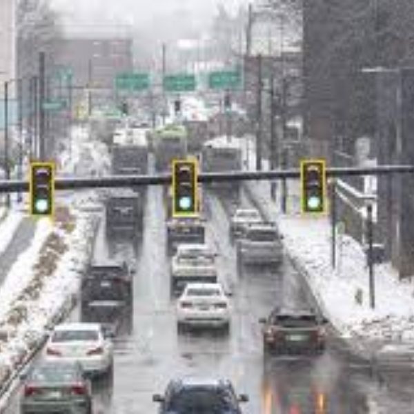
If you’re feeling worn down by the persistent snow, ice, and cold that have gripped Lexington for weeks, a National Weather Service forecaster has some sobering news.
“Winter is not done by a long shot,” Mark Jarvis, a meteorologist with the NWS Louisville office, told the Herald-Leader on Friday.
The latest NWS forecast shows temperatures gradually warming early next week, with highs nearing 60 degrees by Tuesday, Feb. 10. However, Jarvis said in an emailed statement that significant melting is not expected until Monday afternoon, Feb. 9, when dew points rise above freezing.
Forecasters are also monitoring another potential storm that could arrive over Valentine’s Day weekend, Jarvis said, though it is still too early to determine whether it would bring snow.
Meteorologist Chris Bailey is tracking a similar system for that weekend following a cold front expected to move into the region by Wednesday, Feb. 11, according to his Friday forecast update.
Overall, Jarvis said there is strong agreement that a colder pattern will develop toward the end of February and likely persist through much of March.
How likely is another winter storm in February?
Several indicators are being closely watched.
The latest outlook from the Climate Prediction Center suggests Kentucky is leaning toward warmer and wetter conditions between Feb. 11 and 15. A longer-term outlook from Feb. 13 to 19 shows a similar trend.
Temperatures are expected to continue moderating through the weekend and into next week, Jarvis said Friday.
“It’s still too early to say whether this one [the Valentine’s Day storm system] will be a rain or snow maker, but the pattern aloft may produce a pretty good East Coast snowstorm,” Jarvis wrote to the Herald-Leader.
A Climate Prediction Center outlook for Feb. 14 to 27 indicates Kentucky is leaning toward below-normal temperatures during that period.
After Valentine’s Day, the broader pattern is expected to turn colder, Jarvis said.
“I think we’ll see a pattern of up and down temps for a bit, but there remains strong agreement that a colder pattern will emerge for the end of February and will likely linger through much of March,” he told the Herald-Leader. “Winter is not done by a long shot.”
The Climate Prediction Center’s outlook for Feb. 14 to 27 supports this view, favoring above-normal precipitation and below-normal temperatures.
It’s important to note that these outlooks are not forecasts but long-range, probabilistic trends. For the Feb. 14 to 27 period, Kentucky is shown with a 33 to 40 percent chance of below-normal temperatures.
In a Jan. 29 email, Jarvis said he expects conditions to favor a more active weather pattern across the region.
“Overall, the probability of another significant snowstorm is better than average, though I would prefer to say that our overall probability of another significant winter storm, emphasizing a wintry mix, is higher than normal. Probability-wise, I’d say there is a 50 to 60 percent chance we’ll see another significant storm sometime in February, likely in the second half of the month,” Jarvis wrote.


Leave a Reply