Meteorologist Max Velocity is raising concerns about a busy stretch of weather heading toward the United States.
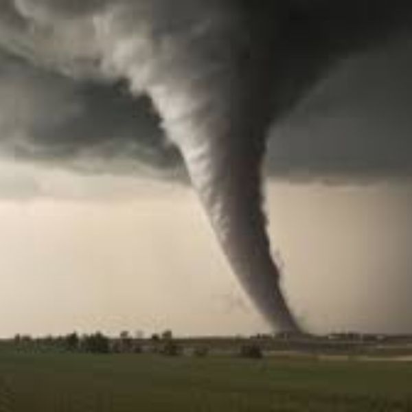
In his latest forecast, Max says two strong storm systems are developing and could bring damaging winds, large hail, and a few tornadoes over the next several days.
He also warns that flooding rains are becoming more likely across parts of the central and southern Plains.
And as November comes to an end, he says Thanksgiving week may bring a major change: an arctic blast with a chance for snow and early winter storms.
Storm One Already Causing Problems
Max Velocity starts with what’s happening right now.
He highlights a low-pressure system over Nebraska and Iowa that’s already producing showers and storms across the lower Midwest and Ohio Valley.
Image Credit: Max Velocity – Severe Weather Center
He calls today’s setup a “sneaky risk of severe weather” because it’s not a classic outbreak day, yet the ingredients are quietly in place.
According to Max, this first storm may bring damaging winds and large hail, along with a low-end tornado threat later today.
He identifies parts of Indiana, Illinois, Kentucky, Tennessee, and Missouri as the main areas to watch.
The tricky part, he says, is the timing.
Morning thunderstorms are already moving through, and the severity of the afternoon depends on how quickly the atmosphere recovers.
Today’s Sneaky Tornado Setup
Max spends extra time on this “sneaky” setup because conditions are more favorable for tornadoes than the maps suggest.
He explains the classic triple point — where a low-pressure center, warm front, and cold front meet — which creates a narrow corridor supportive of instability and wind shear.
He expects that corridor to form across southern Illinois and western Kentucky between 2 p.m. and 7 p.m.
If storms develop and stay as discrete supercells, Max believes a tornado or two is possible, and he doesn’t rule out a strong tornado if everything lines up.
But there’s a catch.
Instability may be limited after the morning storms.
If the atmosphere doesn’t recover quickly enough, the threat could weaken.
Still, Max says there’s a short but serious 3–4 hour window where residents near the Mississippi River need to stay alert.
By the early evening, storms should move into Tennessee and Kentucky, shifting the main concern to strong winds.
He notes that today is the type of day when people may let their guard down because the outbreak maps look quiet, even though the environment favors a surprise or two.
Second Plains Storm May Be More Dangerous
While the current storm is the immediate concern, Max says the next system could be the more impactful one.
He tracks a large Pacific storm moving into California, sending moisture into the West Coast and the Desert Southwest.
He notes that this system is even creating a low-end severe risk in Arizona, where a brief tornado can’t be ruled out — something he calls rare for the region.
Over the next 48 hours, this storm will slide into the southern Plains, setting up multiple days of severe weather from Texas and Oklahoma eastward.
Max breaks down the outlook:
Wednesday:
The Storm Prediction Center has issued a marginal risk for parts of Oklahoma and Texas, including Dallas–Fort Worth and Abilene.
Max expects isolated damaging winds and hail, and perhaps a brief tornado, but doesn’t believe Wednesday will be a major severe weather day.
Thursday:
Max believes conditions increase significantly.
While the SPC currently shows no severe risk for Thursday, he strongly expects that to change and predicts at least a marginal or slight risk for Texas, Oklahoma, and Arkansas.
On Thursday, rich Gulf moisture and Pacific energy will overlap across the southern Plains, supporting damaging winds, scattered hail, and a couple of tornadoes during what he calls an “all-day sort of thing” across Texas and Oklahoma.
By Thursday night into Friday, storms and heavy rain should move into the Mississippi Valley, with some lingering severe weather before weakening over the Ohio Valley.
Flooding Concerns Growing
Max spends time addressing flood risks across the central and southern Plains.
He notes that the first storm may produce 1 to 3 inches of widespread rain from Joplin, Missouri, through Kentucky and surrounding regions.
He warns that isolated areas in Texas, Oklahoma, and Missouri could get 5 to 6 inches of rain. That amount is enough to trigger flash flooding, especially in poor-drainage areas or places recently soaked.
And it might not be the only heavy rainfall. If next week’s second storm develops as hinted, some regions may see another round of heavy rain.
Although the second storm is uncertain, the pattern supports multiple strong systems. His message is clear: people in the central and southern Plains should prepare for both severe storms and potential flooding over the next 7–10 days.
Model Disagreement: Will a Second Big Storm Form Next Week?
Looking ahead, Max discusses early-week model uncertainty. He says the European model shows another major storm forming over the southern Plains. If that happens, another round of severe weather and heavy rain would likely follow.
But the GFS model, which Max often uses and trusts, does not show the same storm.
At best, the GFS delays or weakens the system, pushing it to Wednesday or Thursday instead of early week.
Max stresses that nothing is certain yet, but the trend is worth watching because of the active pattern and strong cold signals coming from Canada.
For now, his advice is simple: don’t panic — just stay aware.If the European model is right, the southern Plains could face back-to-back severe weather and flooding.
Thanksgiving Forecast: Arctic Blast and Early Snow Potential
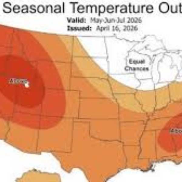
Max closes with the Thanksgiving outlook.For now, much of the country is warmer than usual, with only a few cooler spots.
But by late November, several models point to a major cold blast dropping in from Canada. The European model shows very cold air settling over the Midwest and Ohio Valley around Thanksgiving.
He notes the forecast isn’t locked in yet, and the exact placement and intensity remain unclear. But the trend suggests colder-than-normal temperatures in the northern U.S., plus the possibility of one or two early winter events — anything from light snow to full winter storms.
He expects more cold shots heading into early December as strong systems pull Arctic air southward. This setup is typical for late fall: severe weather still active in the South and central U.S., while winter slowly builds farther north.
If Max is right, Thanksgiving travel may be impacted by storms, rain, sharp temperature drops, or early-season snow.
A Busy Weather Pattern That Demands Attention
Max ends by noting that while many parts of the country remain relatively quiet, regions in the main storm tracks need to stay alert.
People in the lower Midwest, Ohio Valley, southern Plains, and Mississippi Valley face:
• A short-fuse severe weather threat today, including a brief window for a strong tornado
• A multi-day severe and flooding threat from the California storm as it moves east
• The possibility of another strong storm next week
• A Thanksgiving pattern that may bring early winter cold
In simple terms, Max says this is not the time to tune out the weather. With severe storms, heavy rain, uncertainty, and potential Arctic air in the mix, the next 7–14 days are a time when checking the forecast daily is smart planning.
This article has been carefully fact-checked by our editorial team to ensure accuracy and eliminate any misleading information. We are committed to maintaining the highest standards of integrity in our content.


Leave a Reply