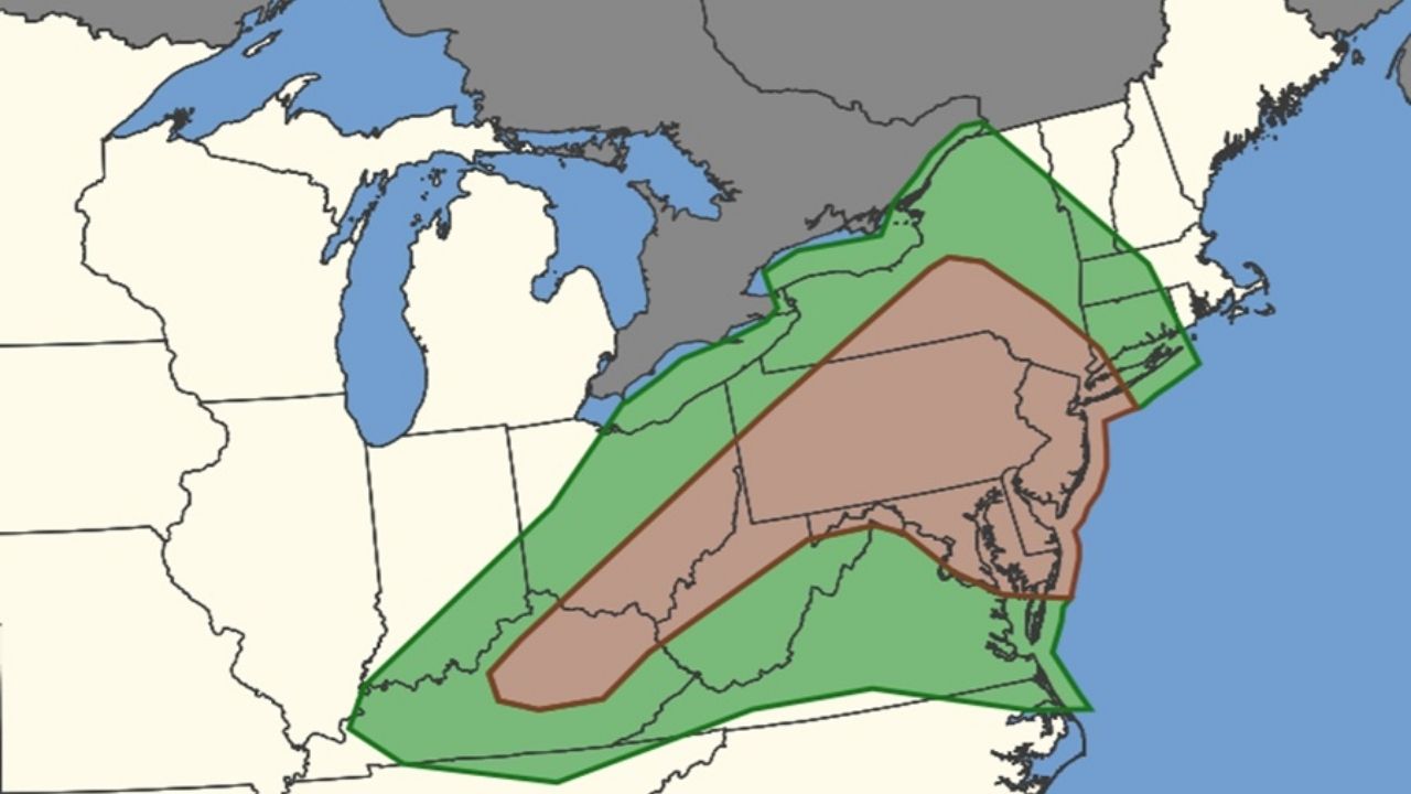
Eastern Kentucky is under a First Alert Weather Day as rain and storms are expected to ramp up overnight and into Wednesday.
Earlier today, some areas near Manchester recorded a couple of inches of rain, while Whitley City and Barbourville saw close to an inch. Lighter amounts were reported in Paintsville with just 0.2 inches.
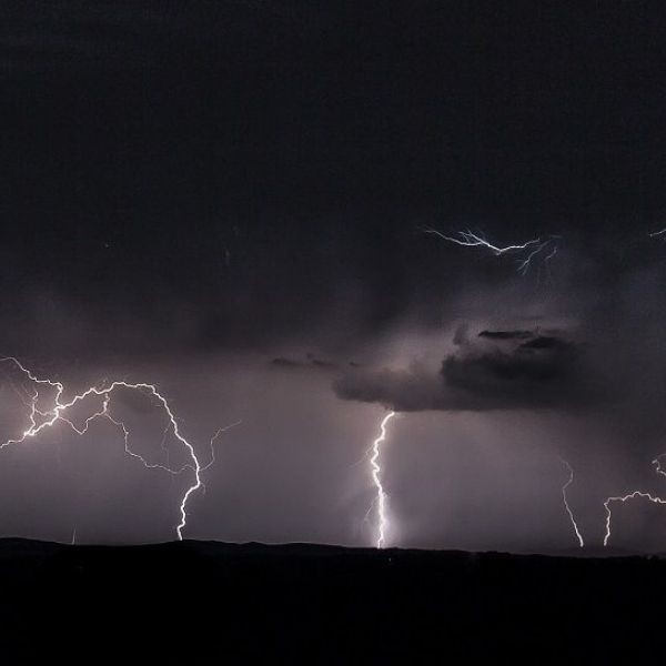
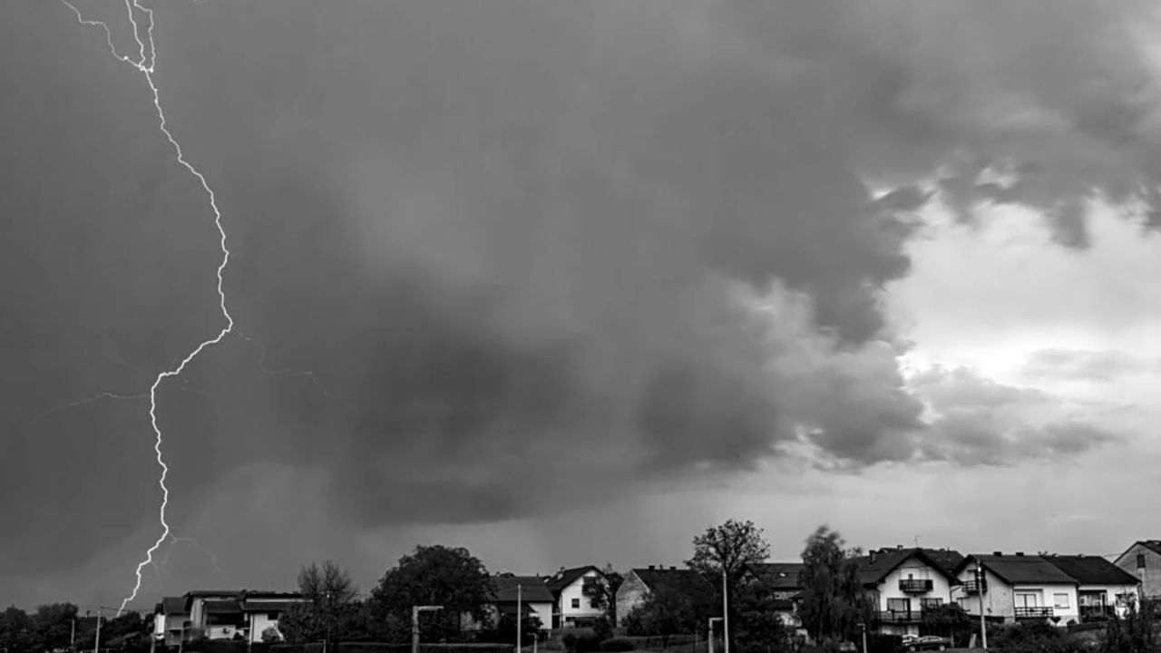
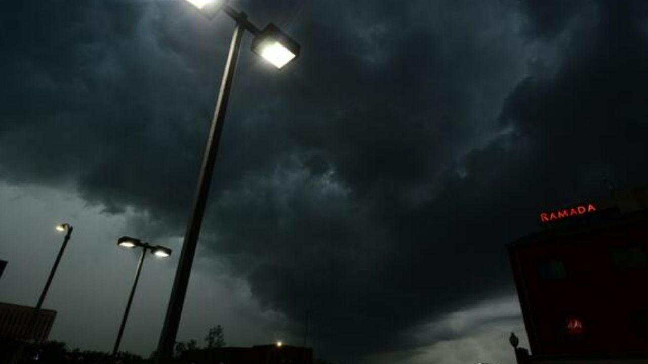
Storms later tonight and into Wednesday could bring heavy wind, hail, vivid lightning, and localized flooding. A cold front will move through later in the week, dropping temperatures Thursday through Saturday, with highs only in the low to mid-70s.
Forecast:
-
Tonight: Chance of storms. S winds light. Low: 66°F
-
Wednesday: Storms likely. SSW winds 5–15 mph. High: 77°F
-
Wednesday Night: Storms likely. SSW winds 5–10 mph. Low: 65°F
-
Thursday: Chance of storms. SW winds 5–10 mph. High: 74°F | Low: 60°F
-
Friday: Chance of showers. High: 73°F | Low: 57°F
-
Saturday: Slight chance of showers, partly cloudy. High: 75°F | Low: 58°F
-
Sunday: Mostly sunny. High: 78°F | Low: 59°F
-
Monday: Partly cloudy. High: 78°F | Low: 60°F
-
Tuesday: Mostly sunny. High: 77°F | Low: 58°F
Residents are advised to stay weather aware and monitor the WYMT First Alert Weather App for updates.
This article has been carefully fact-checked by our editorial team to ensure accuracy and eliminate any misleading information. We are committed to maintaining the highest standards of integrity in our content.


Leave a Reply