Highs in the 70s to power storms
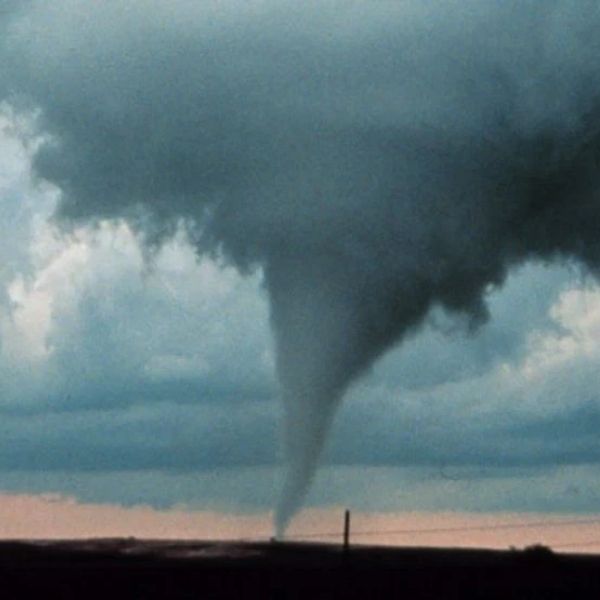
EVANSVILLE, Ind. (WFIE) – A cold front is set to bring the threat of severe storms Thursday afternoon and evening across the Tri-State. A few tornadoes are possible, along with damaging winds that could knock down trees and power lines. Storms are expected to develop between 3 p.m. and 8 p.m., moving quickly from west to east across the region. Southern Indiana and Illinois face the highest risk, though western Kentucky could also see a few severe storms. The storm threat should taper off by 10 p.m. Thursday.
Ahead of the front, gusty southerly winds of 20-30 mph will drive near-record warmth into the area. Highs Thursday will reach the low 70s, approaching the record of 74 set in 2018. After the cold front moves through, temperatures will drop sharply by about 30 degrees, with Friday morning lows settling in the low 40s.
Another round of showers is possible Saturday. Otherwise, conditions will turn much cooler and drier through the first half of next week. Highs will remain in the mid-50s Friday before falling into the mid to upper 30s on Sunday and Monday.
This article has been carefully fact-checked by our editorial team to ensure accuracy and eliminate any misleading information. We are committed to maintaining the highest standards of integrity in our content.


Leave a Reply