Today has been quiet and warmer than what we’ve seen lately. Temperatures climbed into the mid-40s across much of the region after a sunny start. But that changes tonight as a cold front moves through and a trough increases lift, triggering rain and snow showers.
Rain will begin for some areas around 10 PM, staying light and not adding up to much. Temperatures will remain too warm for any snow to accumulate at that time.
Colder air will push in from the north overnight, causing a shift from rain to snow after midnight. Some accumulation is possible, but most spots will only see a light coating.
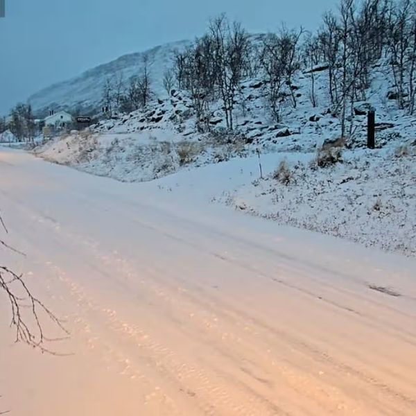
By morning, most of the rain will have changed to snow, except possibly in far south central Kentucky. Snowfall between 2 AM and 8 AM could lead to slick spots, especially on roads that see little traffic overnight.
Don’t plan on a snow day. This system doesn’t have much moisture, so snowfall totals across Kentuckiana will range from a dusting to about half an inch in the white-shaded areas. Higher amounts are possible along and east of I-75 in the blue-outlined regions. This will be enough to create slick roads, so take it easy as you start your Monday.
A few more chances for snow will develop later in the week, but the bigger story will be the extreme cold by next weekend. Some areas could dip into the single digits with wind chills dropping below zero at times.
This article has been carefully fact-checked by our editorial team to ensure accuracy and eliminate any misleading information. We are committed to maintaining the highest standards of integrity in our content.


Leave a Reply