SHORT TERM: Stray sprinkle or flurry early Saturday; rain showers with a mix and flurries Sunday into Sunday night
LONG TERM: Midweek system leans mainly rainy; watching Thursday night into early Friday for potential snow
LOUISVILLE, Ky. (WAVE) — Clouds may break up slightly this evening before returning overnight. A bit of fog is possible early Saturday, but like recent nights, any impacts should be minor. Temperatures will fall into the 20s tonight.
Light drizzle or a few flurries may pass through Saturday morning, mainly along and north of I-64. Impacts look minimal, but it will be monitored. The rest of the day stays cloudy and a little milder, with highs in the mid to upper 30s.
Clouds linger Saturday night as temperatures dip into the 20s and 30s by early Sunday.
A brief round of freezing drizzle is possible Sunday morning before the day turns to mainly rain showers as temperatures rise into the 40s.
By nightfall, sleet or snowflakes could mix in again. Light sleet or snow accumulation is possible late Sunday night into early Monday as temperatures drop. Slick spots could form on untreated roads Monday morning as readings fall well into the 20s.
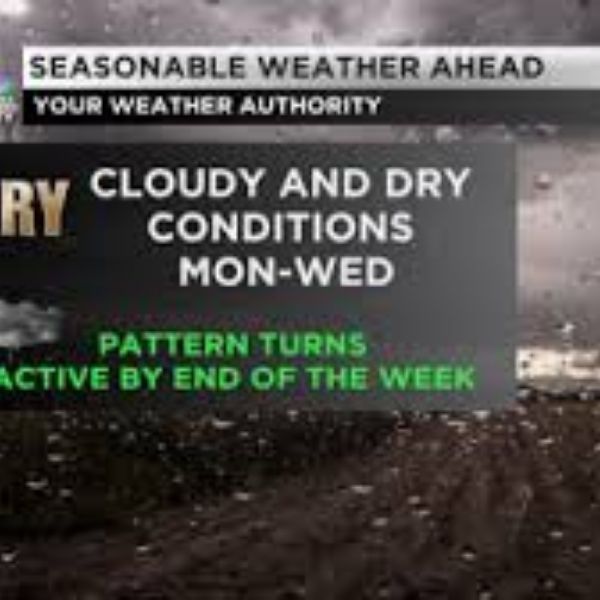
A system arriving Wednesday into early Thursday looks mostly rainy with a few flakes on the back end. Another system trailing behind late Thursday into early Friday carries a higher chance of producing wintry weather.
This article has been carefully fact-checked by our editorial team to ensure accuracy and eliminate any misleading information. We are committed to maintaining the highest standards of integrity in our content.


Leave a Reply