LEXINGTON, Ky. (FOX 56) — Snow showers taper off across southeast Kentucky this morning.
Clouds dominate early and remain mostly cloudy through the afternoon. A few late-day breaks of sunshine are possible, especially near I-75 and areas to the west. Temperatures remain cold despite any sun.
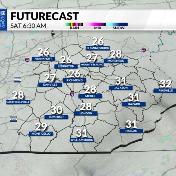
Tonight will stay mostly cloudy and chilly, with lows dipping into the mid-20s to low-30s.
Saturday may see a few sunny moments, but the day will be largely overcast. Highs climb into the upper 30s and lower 40s for much of the region.
Another system moves in Sunday. Precipitation may start as a mix that includes freezing rain early in the morning before changing to rain showers as temperatures rise. Highs reach the lower to possibly mid-40s in southern areas.
Colder air returns Sunday night, bringing scattered snow showers and flurries that linger into Monday morning.
A brief warm-up is expected by Wednesday, followed by another blast of cold air.
This article has been carefully fact-checked by our editorial team to ensure accuracy and eliminate any misleading information. We are committed to maintaining the highest standards of integrity in our content.


Leave a Reply