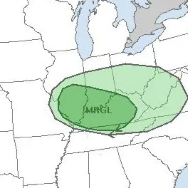
The Storm Prediction Center has placed western Kentucky, particularly the Pennyrile Region, under a marginal risk for severe weather Tuesday afternoon, with heavy rain expected later in the week on Thursday and Friday.
According to Keith Cooley, a lead forecaster with the National Weather Service, Tuesday’s storms could produce hail and even a possible tornado.
Rainfall totals on Tuesday are expected to reach about a half-inch before conditions briefly improve on Wednesday. Cooley says rain amounts will increase significantly on Thursday and Friday, with 1 to 2 inches likely.
Temperatures will remain in the 60s through the week before cooling into the 50s for Thanksgiving week. While Cooley notes it’s still too early for a precise Thanksgiving weekend outlook, current models suggest a warm Black Friday followed by a sharp 20- to 30-degree temperature drop on Saturday.
As of mid-November, the average temperature was just under 50 degrees—about 2 degrees cooler than last year but 1 degree warmer than in 2023.
This article has been carefully fact-checked by our editorial team to ensure accuracy and eliminate any misleading information. We are committed to maintaining the highest standards of integrity in our content.


Leave a Reply