


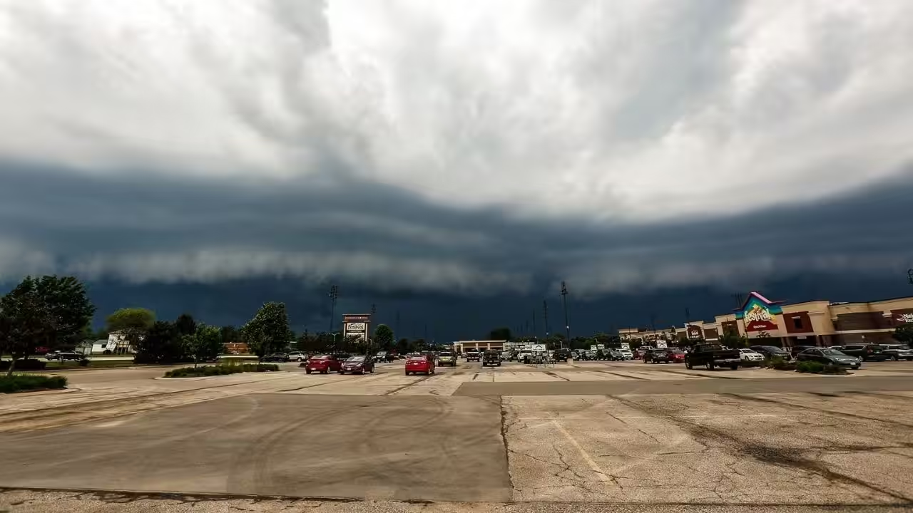
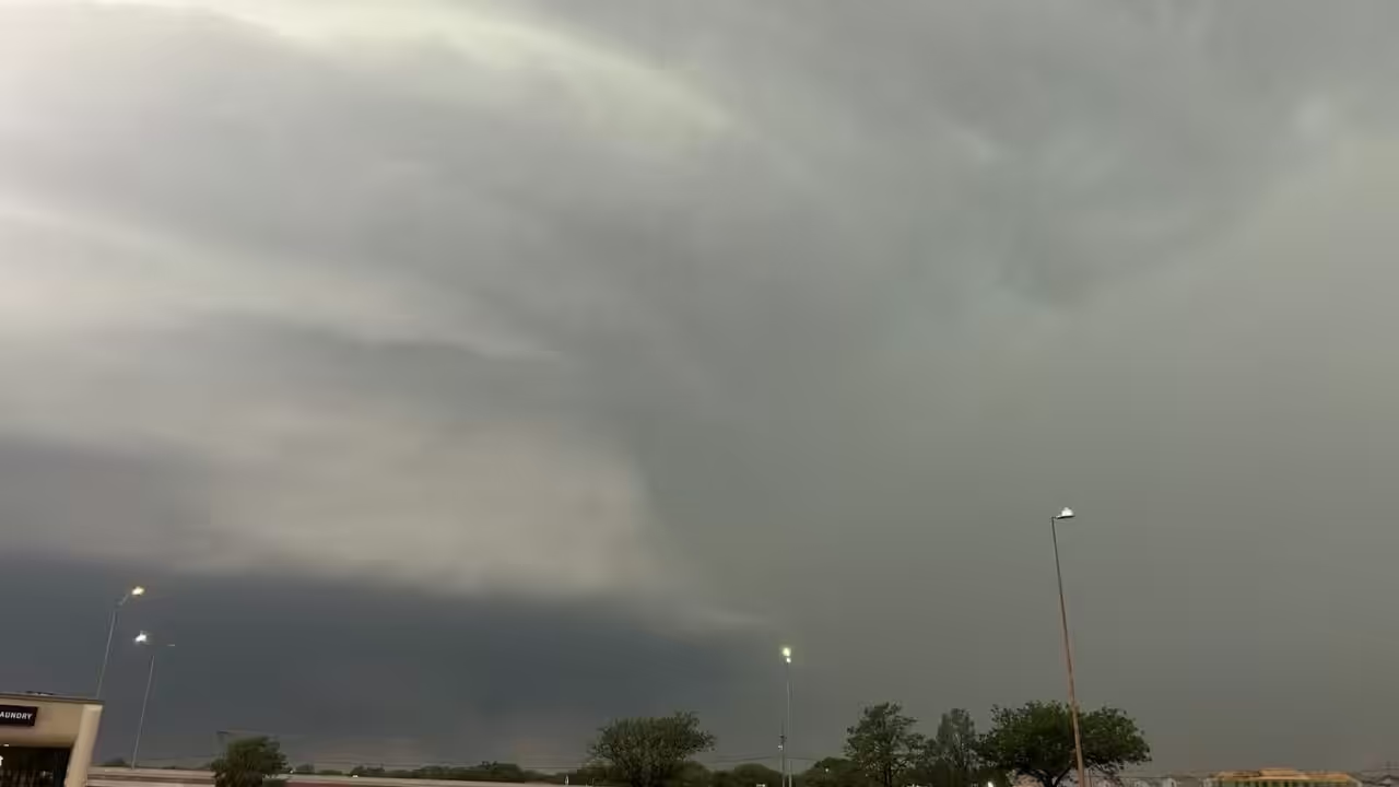
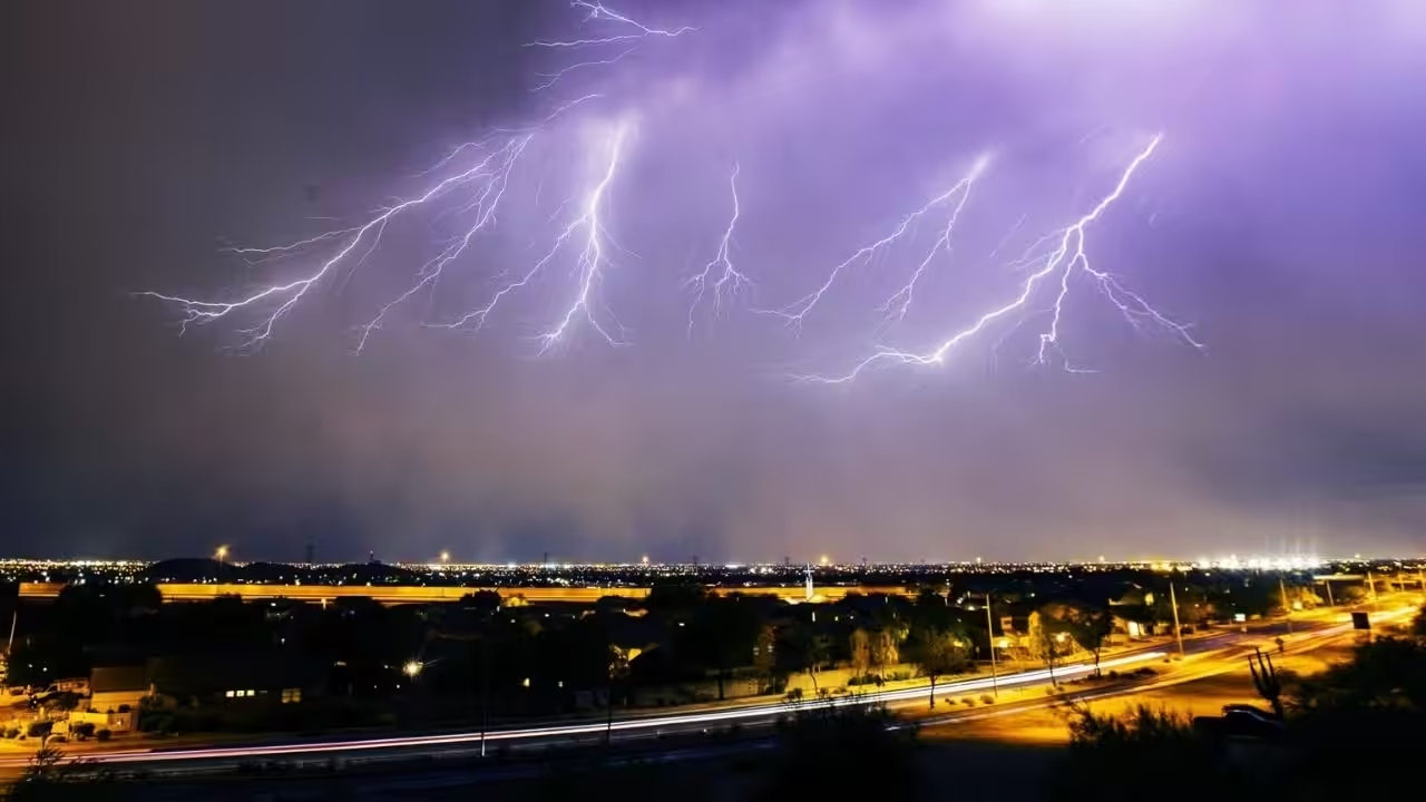
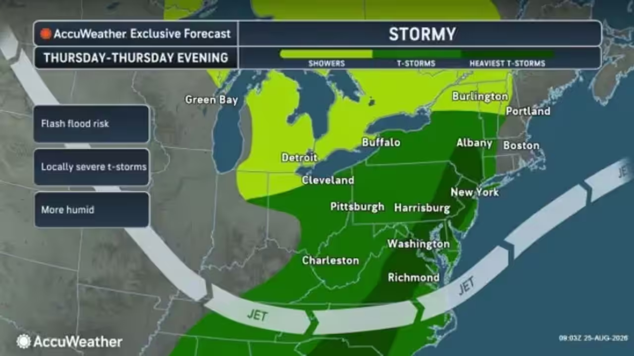
A sneaky severe weather threat has formed in the state’s southeast region today afternoon and evening. Today’s system has been more amplified and hence moved further north. As a result, Southeast Pennsylvania will be in the warm sector, with high wind shear.
The primary dangers will be damaging winds and isolated tornadoes, particularly in the Philadelphia metropolitan area. Model guidance is contesting the location of a line of severe storms, with I-78 likely being the northernmost point of severe risk. Farther north, moderate to heavy rain and thunder rumbles.
TIMING: Strong storms will form in South Central Pennsylvania, primarily south of the PA Turnpike (I-76), in the middle of the afternoon and intensify as they move east. Storms are expected to hit the Lower Susquehanna Valley in the late afternoon, with Southeast Pennsylvania (Delaware Valley, potentially the Lehigh Valley) seeing severe weather by the evening before sunset.
Here is a look at the expected rainfall totals for today:
Area A: Scattered severe thunderstorms are expected with damaging winds up to 75mph possible along with an isolated tornado or two. Flash flooding is also a concern especially in the Philadelphia Metro.
Area B: Isolated strong to severe thunderstorms are possible with damaging winds up to 60mph possible.






Leave a Reply