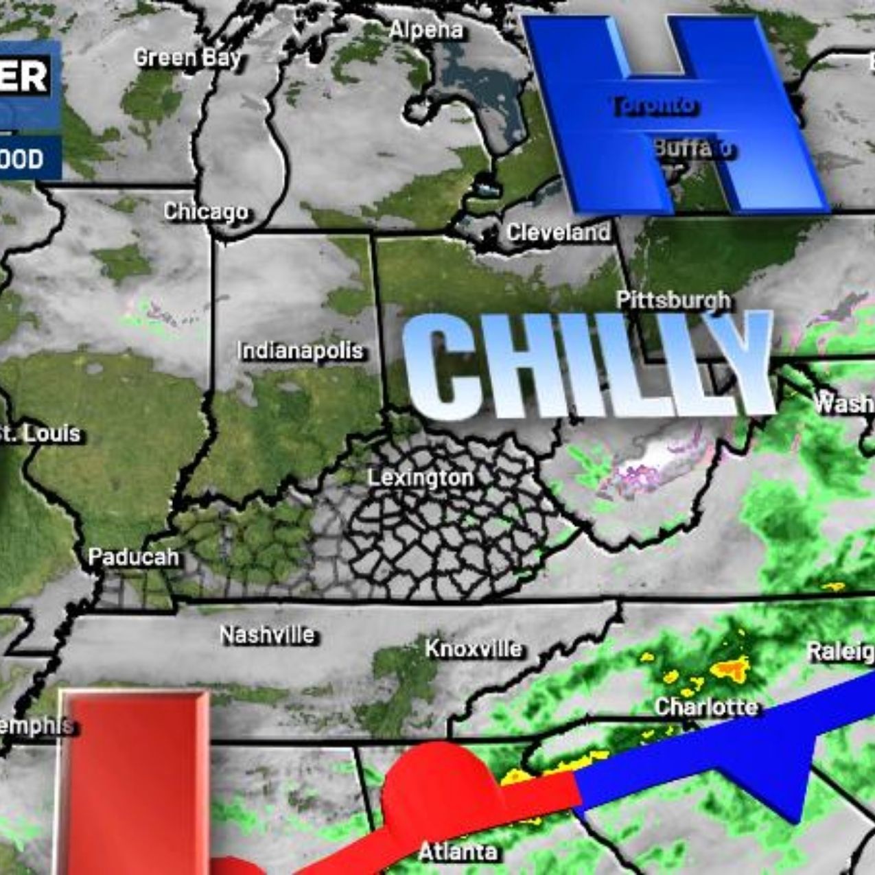
LEXINGTON, Ky. (WKYT) – A fast-moving system bringing light rain and snow moved through the Commonwealth early today. Conditions improve significantly by the afternoon, and the final days of February look pleasant. March, however, could introduce more active weather.
Northern Kentucky saw light accumulating snow early this morning, but much of it melted by the afternoon as sunshine spread from west to east. Temperatures climbed into the 60s across western areas, while eastern parts of the state reached the upper 40s.
Friday looks fantastic, with highs near 60 degrees in eastern Kentucky and upper 60s in the west.
Saturday turns windy and very mild as February and Meteorological Winter come to an end.
March 1 marks the beginning of Meteorological Spring, arriving with a cold front dropping in from the north. This front may bring a broken line of showers as temperatures fall sharply. The boundary is expected to stall overhead, allowing a wave of low pressure to develop along it and move east.
That setup could produce a band of winter weather along and north of the system’s track Sunday night into early Monday. Could some of it reach Kentucky? It’s possible, but forecast details remain uncertain at this point.
Milder air returns behind this system next week, with temperatures potentially climbing toward the 70s by late week into next weekend. The warming trend may also spark the development of some strong storms during that time.


Leave a Reply