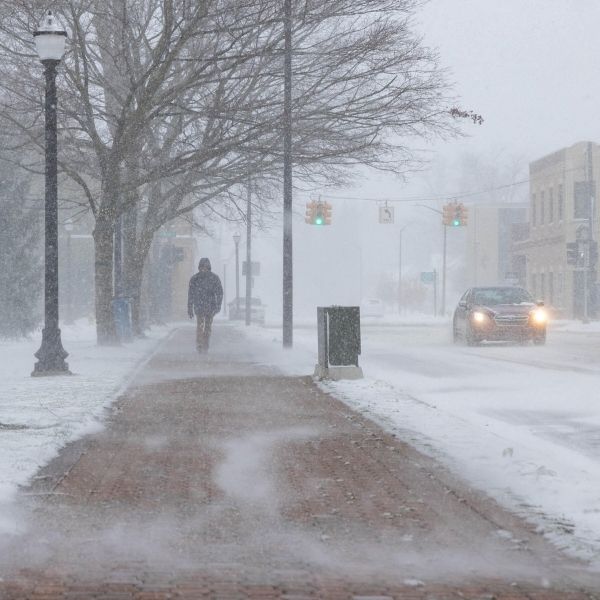
Hazard, KY – Drivers across eastern Kentucky are advised to use caution tonight as an arctic front moves into the region, bringing scattered snow showers and the possibility of isolated snow squalls overnight.
The National Weather Service in Louisville reports that spotty snow showers and flurries are expected Friday night, with the greatest risk for snow squalls between 9 p.m. and 4 a.m. EST. Although widespread snowfall is not expected, brief snow squalls may sharply reduce visibility and cause slick road conditions in certain areas.
Forecasters indicate that snow accumulation should stay below half an inch. Even so, light snowfall paired with rapidly dropping temperatures could make travel hazardous. Overnight lows are expected to fall into the 20s, raising the likelihood of icy patches on untreated roads, bridges, and overpasses.
Snow squalls are short in duration but can be dangerous due to sudden whiteout conditions and quick changes in road traction. The National Weather Service cautions that drivers could face rapidly worsening conditions with little warning, even when roads appear clear.
The best chances for measurable snowfall are across eastern Kentucky communities such as Hazard, Morehead, London, Pikeville, and nearby counties. While impacts are expected to remain localized, conditions may change quickly late tonight into early Saturday.
Drivers traveling late tonight or early Saturday morning are urged to slow down, leave extra following distance, and stay alert for sudden drops in visibility. Residents are also encouraged to keep an eye on local forecasts and road conditions overnight.


Leave a Reply