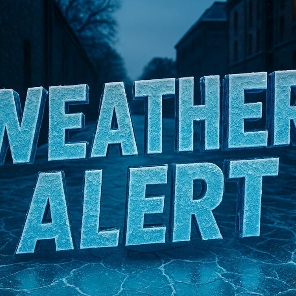
Louisville, Ky. — The National Weather Service in Louisville is warning of several rounds of light wintry precipitation over the next few days, which could create travel concerns across the Louisville area and much of central Kentucky.
Forecasters say scattered flurries or brief light snow showers may occur through Saturday. While major accumulation is not expected, cold surfaces could create slick spots, especially on bridges and elevated sections of I-65, I-64, and I-71.
Another window for wintry weather is expected Sunday evening into Monday morning, with flurries moving in from the northwest. Little to no accumulation is anticipated, but drivers should remain alert for patchy ice, particularly overnight and early morning.
The most impactful period may arrive Tuesday into Tuesday night, when a more organized system could bring widespread wintry precipitation. Forecasts indicate a mix of freezing rain, sleet, and snow, with southern parts of the region at higher risk for ice accumulation. Even light ice could affect travel on major routes such as I-65 south of Louisville, the Western Kentucky Parkway, and nearby secondary roads.
Temperatures will hover near freezing during these events, increasing the likelihood that precipitation will freeze on contact. Road conditions could deteriorate quickly if icing occurs, especially after sunset.
Officials urge residents to monitor forecast updates closely, plan for changing road conditions, reduce speed during wintry precipitation, and allow extra travel time. Multiple rounds of snow and ice over several days may compound impacts across the region.


Leave a Reply