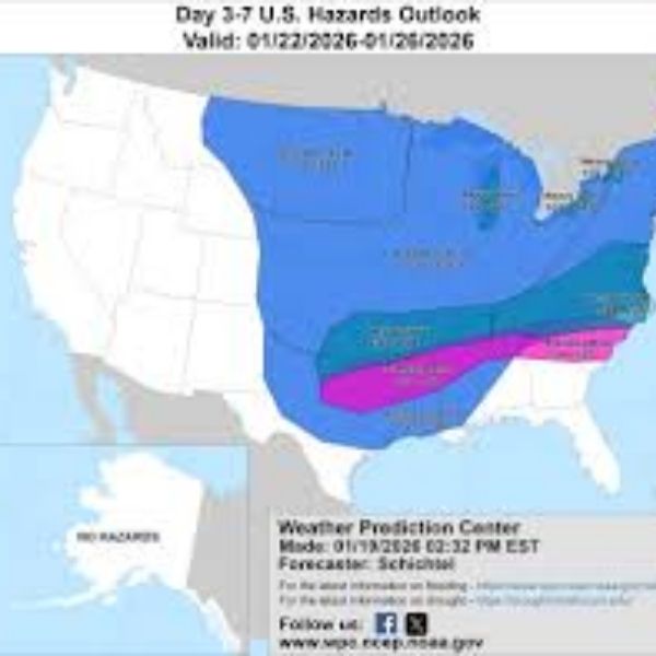
Louisville, KY — Kentucky could see a high-end winter storm this weekend, with snowfall ranging from light accumulations to 12–24 inches in a worst-case scenario, depending on the storm’s path.
The National Weather Service says forecasters are monitoring two main scenarios, both of which would impact the state but with very different outcomes.
In Scenario 1, the storm tracks farther south before lifting northeast. Kentucky would remain on the northern edge of the heaviest precipitation, producing lighter snow totals of about 1–4 inches, mainly in southern and eastern areas. Travel could still be affected, but impacts would be more limited.
In Scenario 2, the storm tracks farther north through the Tennessee and Ohio Valleys before intensifying toward the Mid-Atlantic. This path would place much of Kentucky closer to the storm’s core, increasing snowfall potential. In this scenario, 6–12 inches of snow could fall across central and eastern Kentucky, including Louisville and Lexington, with localized totals possibly reaching 18–24 inches if a heavy snow band sets up.
Snow is expected to begin late Saturday, intensify Sunday, and continue into Monday. Cold temperatures will allow snow to accumulate efficiently and linger on roads. The National Weather Service warned travel could become dangerous or impossible during heavy snowfall periods.
Current guidance shows growing chances for at least 6 inches of snow across Kentucky, especially if the northern-track scenario occurs. While Winter Storm Watches have not yet been issued statewide, forecasters say watches are likely within the next 24–36 hours as confidence in the storm grows.
Residents are advised to prepare now: adjust weekend travel plans, stock emergency supplies, and ensure vehicles and heating systems are ready. With cold air expected to linger after the storm, impacts could last well into next week.
Further Kentucky-specific updates will be provided as the storm track becomes clearer.








Leave a Reply