LOUISVILLE, Ky. — Cold air has settled into the Ohio Valley following brief snow squalls Wednesday afternoon and evening.
Brisk winds are making already chilly conditions feel colder, with morning wind chills in the single digits and afternoon highs only reaching around 20° Thursday.
The first of two fast-moving systems arrives late tonight into Friday morning, bringing light snow and flurries. Accumulations are expected to be minimal, mainly a dusting, but temperatures in the 20s could lead to slick spots on untreated roads.
Snow chances taper off Friday afternoon as temperatures briefly rebound into the lower 40s.
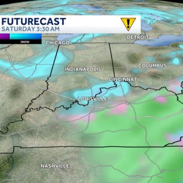
Another system moves in Friday night into Saturday morning, producing scattered snow showers, gusty winds and light accumulations ranging from a dusting to near an inch. Additional icy spots will be possible.
A reinforcing blast of cold air follows for the weekend, with below-freezing temperatures expected to linger into early next week.


Leave a Reply