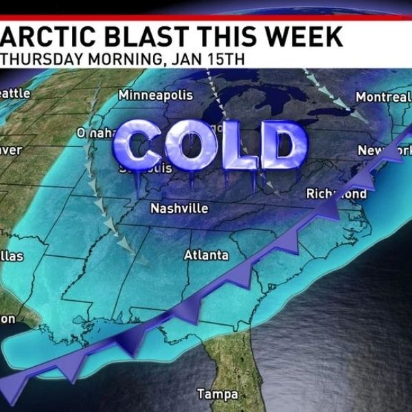
NASHVILLE, Tenn. — Snow chances are decreasing for Wednesday as much colder air moves in across Middle Tennessee and Southern Kentucky.
Rain is expected Wednesday morning and afternoon, but temperatures will stay well above freezing while the precipitation moves through. By the time the cold air arrives, most moisture will have passed.
The Plateau has the highest chance for snow showers, but accumulation is minimal, with only a 20–40% chance of around 1 inch. Elsewhere, only flurries are expected with no accumulation.
Another system may bring isolated rain showers late Friday and possible flurries into Saturday, but moisture appears limited.
This article has been carefully fact-checked by our editorial team to ensure accuracy and eliminate any misleading information. We are committed to maintaining the highest standards of integrity in our content.


Leave a Reply