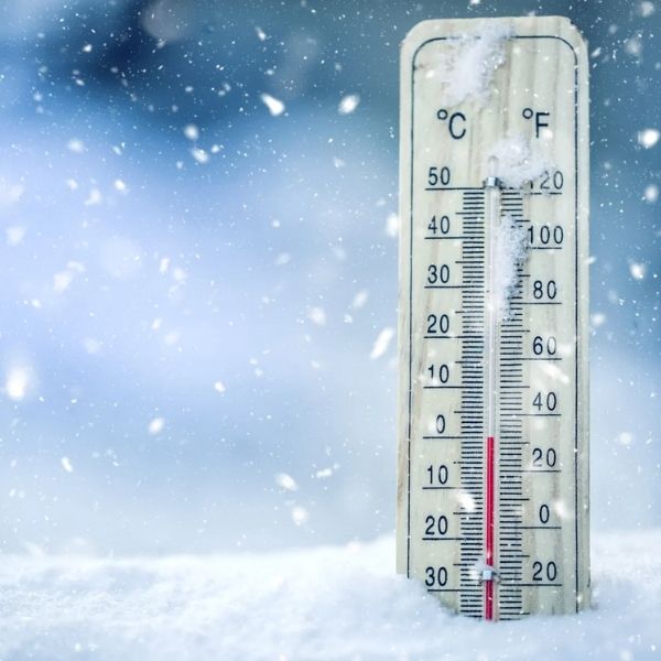
TENNESSEE — Parts of the southern and central Appalachian region will briefly return to more seasonable winter weather over the next few days, but forecasters warn the relief will not last long. High temperatures are expected to climb into the upper 40s to near 50 degrees, with overnight lows dropping into the upper 20s. While this offers a short break from harsher conditions, meteorologists caution that a stronger Arctic cold blast is set to arrive by midweek.
Strong Arctic front brings dangerous wind chills by Thursday morning
By Thursday morning, a powerful surge of Arctic air is forecast to move across Tennessee, North Carolina, Virginia, and Kentucky, bringing dangerously cold wind chills. Forecast models indicate subzero wind chill values in the higher elevations of the Appalachian Mountains, while areas outside the mountains could see wind chills fall into the teens.
The cold will be intensified by strong winds gusting between 40 and 50 mph, creating hazardous conditions for anyone outdoors, especially during the early morning hours.
Mountain areas face the harshest conditions
The most extreme apparent temperatures are expected in mountain regions, where wind chills could plunge well below zero. Higher elevations in eastern Tennessee, western North Carolina, southwest Virginia, and eastern Kentucky are at the greatest risk from the bitter cold.
Forecasters say these conditions significantly increase the risk of frostbite and hypothermia in a short period of time, particularly for those exposed to strong winds.
Cold pattern expected to persist through the weekend
After the Arctic blast moves through, temperatures are expected to remain below normal through the weekend. Highs from Thursday through Sunday are forecast to stay mostly in the 40s, with some areas struggling to rise out of the 30s, especially in northern and higher-elevation locations. Overnight lows will remain cold, signaling that this is part of a sustained winter pattern rather than a brief cold snap.
What residents should prepare for
Although no major winter precipitation is highlighted, the combination of cold temperatures and strong winds will be the primary concern. Residents are encouraged to prepare for dangerous wind chills, protect pets and pipes, and limit prolonged outdoor exposure during the coldest periods.
NapervilleLocal.com will continue monitoring major weather patterns across the country and explaining how developing Arctic outbreaks are affecting regions as winter conditions intensify.


Leave a Reply