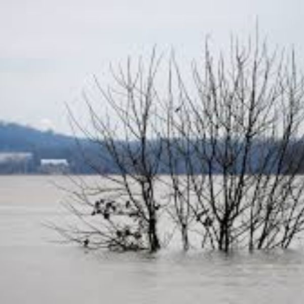
Ohio Valley rivers are expected to rise as rainfall increases late this week, with some flooding possible near multiple state borders, according to the National Weather Service Ohio River Forecast Center.
Forecasters said scattered showers are expected today, followed by more widespread rain on Thursday and Friday across much of the Ohio River and Lake Erie drainage basins. The additional rainfall is likely to cause rivers and streams to rise, with some locations potentially reaching action stage and isolated areas seeing minor flooding.
According to the Ohio River Forecast Center, the greatest hydrologic impacts are most likely where heavier rainfall develops later this week. Localized heavy rain is possible across parts of Middle Tennessee into eastern Kentucky from Friday into Friday night, which could lead to faster river responses in downstream Ohio Valley communities.
Five-day precipitation outlooks show widespread rainfall across the basin, with totals varying by location. While widespread flooding is not currently expected, officials said repeated rounds of rain could result in elevated river levels, stronger flows, and localized flooding in low-lying or flood-prone areas.
The outlook is especially important for communities along rivers and creeks, as well as for barge traffic, riverfront infrastructure, and low-water crossings throughout the Ohio Valley.


Leave a Reply