First Alert weather on Heartland Afternoon 1/6/2026
Clouds will clear later this afternoon, leading to clear skies through the evening. Temperatures are in the mid to low 60s and will dip to the mid 50s tonight. As skies clear overnight, temperatures will drop to the mid to upper 30s by tomorrow morning. With calmer winds, patchy fog is possible in the morning. Temperatures on Wednesday are expected to reach the low 60s.
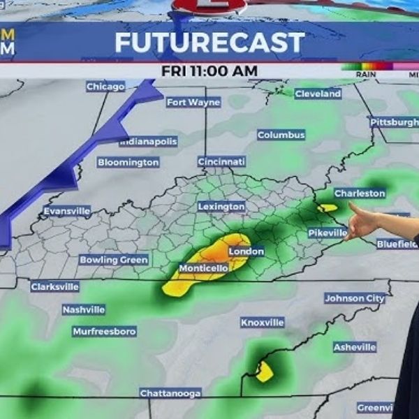
Thursday looks drier during the day, with showers moving in later. There is also a chance for thunderstorms, including a marginal risk for severe weather. On Friday, a slight risk for severe storms is possible in the southernmost parts of the Bootheel, western Kentucky, and Lake, Obion, and Weakley counties in Tennessee.
After the showers and storms, Saturday will be drier and colder, with highs in the low 50s
This article has been carefully fact-checked by our editorial team to ensure accuracy and eliminate any misleading information. We are committed to maintaining the highest standards of integrity in our content.


Leave a Reply