Afternoon temperatures are expected to climb into the 60s on Christmas Day.
After a pleasant start to winter with sunshine and seasonable temperatures wrapping up the weekend Sunday, Christmas week began with more early sunshine before clouds gradually increased as a mid-level wave moved northeast from the southwest into the Ohio Valley.
Despite the cloud buildup, the region still saw another unseasonably mild day, with afternoon highs returning to the low 50s across the Bluegrass and mid to upper 50s farther south. Showers were expected to develop Monday evening and spread northeast, setting the stage for the unsettled pattern over the next several days.
A few scattered showers may linger into the early hours of Tuesday, but most of the day should remain cloudy with occasional patchy drizzle as moisture stays locked in place due to a weak frontal boundary stalling over the commonwealth.
Even with clouds and intermittent sprinkles, afternoon highs should reach the mid to upper 50s in the Bluegrass, with a few low 60s possible to the south. While the drizzle may only be a nuisance for holiday travel, some wet roadways could develop in spots, so drivers should stay alert.
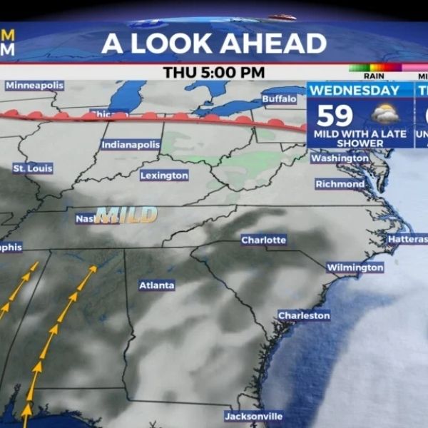
As Christmas Eve approaches, the stalled boundary should begin lifting farther north, keeping much of the region within unseasonably mild air. It will hardly feel like the holidays, with afternoon highs remaining in the upper 50s across Central Kentucky and pushing into the low 60s farther south.
Sunshine will be limited as clouds continue to dominate, though rain chances should stay relatively low on Wednesday. Any hopes for a white Christmas will have to wait another year, as temperatures are forecast to surge into the low to mid 60s on Christmas Day.
With the front positioned to the north and southwest winds pulling in warmer air, a few spotty showers may develop as a disturbance moves through the Ohio Valley, but widespread rain is not expected.
Afternoon highs will run about 20 degrees above average, reaching the mid 60s, though they should remain just shy of record levels. Overall, it simply won’t feel much like the holiday season this year.
After Christmas, the weather pattern should remain similar, with scattered clouds and a low chance for showers Friday into Saturday as temperatures continue to stay well above normal for late December.
Afternoon highs are expected to hold in the 60s, making conditions feel fairly comfortable for this time of year. Forecast data suggests a stronger system could move into the region by Sunday, bringing more widespread rain and possibly a few storms if conditions align.
This system will be worth watching over the coming days. Cooler air does appear likely to return early next week as the region heads into the final stretch toward 2026.
ABC 36 Storm Team 36-Hour Forecast:
Monday Night: Breezy with a few showers. Lows in the upper 40s. Winds from the south at 10 to 15 mph.
Tuesday: Cloudy and breezy with patchy drizzle. Highs in the upper 50s to low 60s. Winds from the southwest at 10 to 15 mph.
Tuesday Night: Cloudy with additional showers. Lows in the mid 40s. Winds from the north at 5 to 10 mph.
This article has been carefully fact-checked by our editorial team to ensure accuracy and eliminate any misleading information. We are committed to maintaining the highest standards of integrity in our content.


Leave a Reply