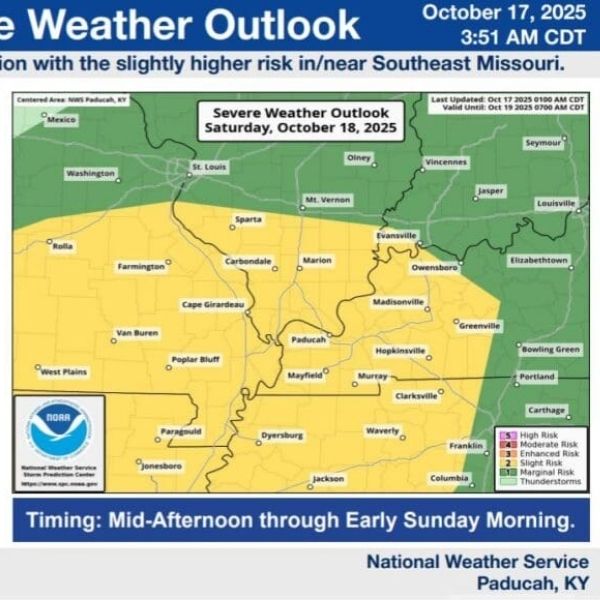
After a long stretch of calm weather, the fall severe weather season is expected to kick off across western Kentucky on Saturday, with a Slight Risk for severe storms across the region. Counties included in the risk area are Christian, Todd, and Trigg, with all hazards possible — including large hail, damaging winds, and a brief tornado.
The National Weather Service in Paducah says scattered thunderstorms could develop in Missouri and southern Illinois before combining into a squall line that moves into western Kentucky Saturday evening.
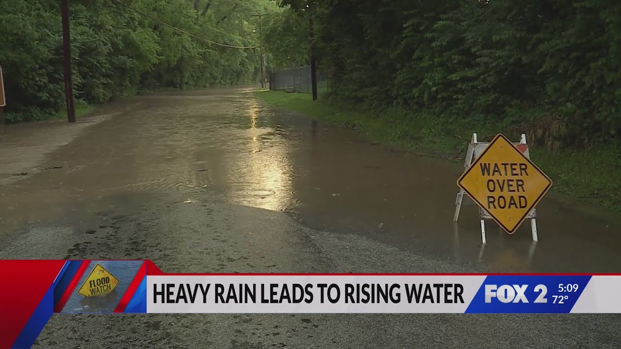
The highest threat for severe weather is expected between 7 p.m. Saturday and 1 a.m. Sunday. Rainfall could be heavy at times, potentially causing minor flooding in low-lying and poorly drained areas.
This article has been carefully fact-checked by our editorial team to ensure accuracy and eliminate any misleading information. We are committed to maintaining the highest standards of integrity in our content.


Leave a Reply