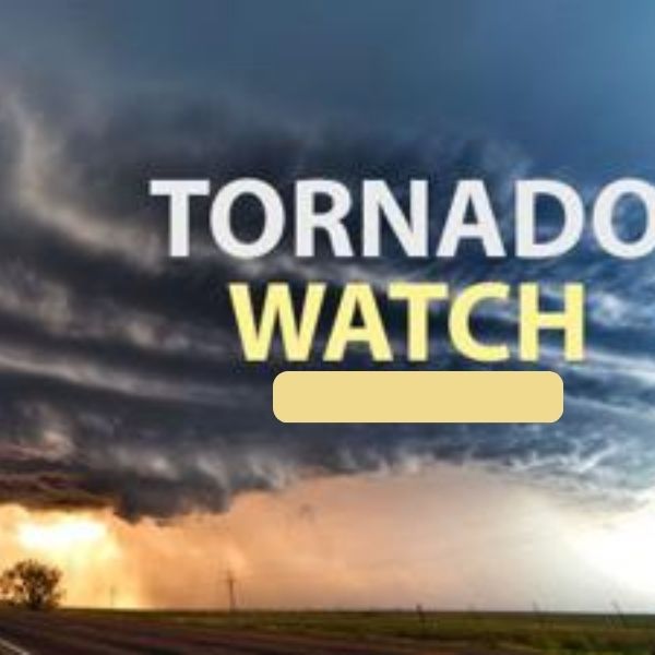
The National Weather Service Storm Prediction Center has issued a Tornado Watch for parts of Indiana and Kentucky.
The watch includes:
Central and southern Indiana
Central and northern Kentucky
The Tornado Watch is in effect from 8:25 p.m. Sunday until 3:00 a.m. EDT Monday.
Primary threats include:
A couple of tornadoes possible
Widespread damaging winds likely
Isolated wind gusts up to 80 mph
Summary
Forecasters say a severe squall line is expected to move quickly east-northeast across the watch area tonight. Damaging straight-line winds are expected to be the most common hazard, but a few tornadoes could also develop within rotating areas embedded in the squall line.
The tornado watch area stretches roughly 60 miles east and west of a line from about 20 miles east-northeast of Lafayette, Indiana, to 25 miles southeast of Bowling Green, Kentucky.
Precautionary and Preparedness Actions
Residents should remember that a Tornado Watch means conditions are favorable for tornadoes and severe thunderstorms in and near the watch area. People in affected locations should remain alert for changing weather conditions and monitor updates for possible warnings throughout the night.


Leave a Reply