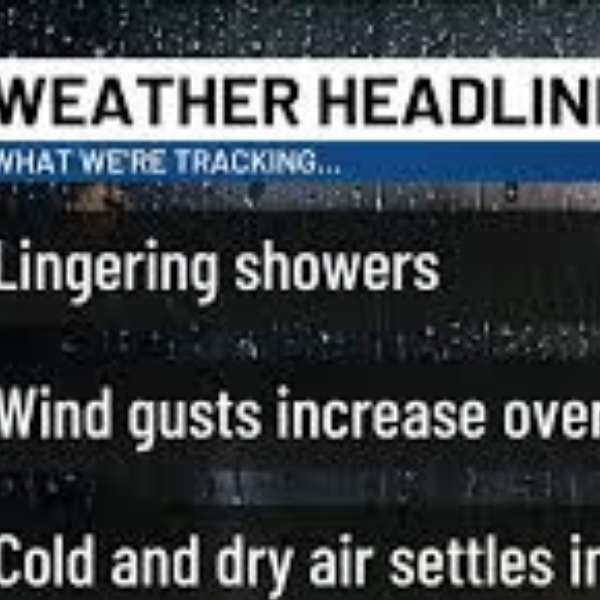
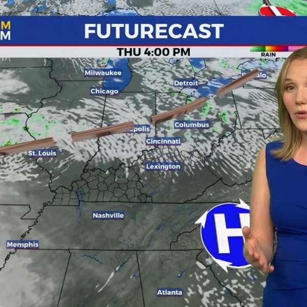
Louisville, Kentucky – Slick spots could form on bridges along I-64 and I-71 before 8 a.m. Thursday as light overnight snow or a rain-snow mix moves across northern Kentucky. However, temperatures rising 15 to 20 degrees above seasonal averages will shift most areas to wet and mild conditions by midday.
The National Weather Service Climate Prediction Center places Kentucky in a 40 to 50 percent above-normal precipitation zone through Tuesday. This active storm track extends from the Gulf Coast into the Ohio Valley and Midwest, increasing the chances that several systems will bring repeated rounds of rain as February comes to a close.
In Louisville, where average highs typically reach the mid-40s this time of year, afternoon temperatures next week could climb into the upper 50s and even low 60s. Lexington and Bowling Green may experience similar warmth, particularly along the I-65 and I-75 corridors. Northern counties near the Ohio River might see brief snow before dawn before quickly transitioning to rain. In eastern Kentucky, including areas along the Mountain Parkway, drivers could encounter isolated slick patches early before temperatures rebound.
The broader outlook calls for above-normal warmth across much of the eastern United States, while cooler air remains over parts of the West. This contrast keeps the jet stream active across the Ohio Valley, supporting periodic rainfall.
Motorists should plan for extra travel time during early morning hours, clear storm drains to reduce standing water, and stay updated with KYTC alerts as conditions evolve. The milder pattern is expected to continue into early next week, though additional systems may still trigger advisories. Winter may be fading across Kentucky, but it has not fully stepped aside.
This article has been carefully fact-checked by our editorial team to ensure accuracy and eliminate any misleading information. We are committed to maintaining the highest standards of integrity in our content.









Leave a Reply