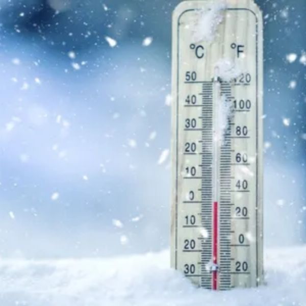
A Winter Weather Advisory was in place until 7 am Friday, and even after it expired, snow continued through late morning. Minor travel issues are possible, especially south of the Mountain Parkway. The rest of the region stays dry with no impacts expected. Temperatures are cold everywhere, starting in the 20s.
The rest of Friday stays mostly cloudy and chilly. Afternoon temperatures will only climb into the mid-30s. A few flurries may drift through, but they won’t bring any accumulation or cause problems.
The first half of the weekend is calm, the second half looks unsettled
Saturday will remain cold and dry, with temperatures staying below average in the low 40s. A few stray flurries may appear again. A cold front will move through Saturday night.
Sunday brings a chance for rain, although totals should be very light with little moisture to work with. Some light snow may fall behind the system. Overall, impacts should remain low.
Next week may be active
Monday will begin quietly, but the weather pattern stays active, with systems expected to move in every couple of days. Another cold front could push through by mid-week.
This article has been carefully fact-checked by our editorial team to ensure accuracy and eliminate any misleading information. We are committed to maintaining the highest standards of integrity in our content.


Leave a Reply