LEXINGTON, Ky. (WKYT) – Kentucky is preparing for a wintry start to the week as a Winter Weather Advisory remains in effect for southeastern parts of the state, with snow showers, strong winds, and frigid wind chills expected.
This morning, scattered rain showers and a few stronger storms will accompany a cold front sweeping across the state. Winds will strengthen, and temperatures will quickly tumble into the 30s from northwest to southeast by this afternoon. By early evening, gusty rain showers will begin to mix with snow as colder air moves in behind the front.
Tonight, light snow and flurries will develop mainly across central and eastern Kentucky, sticking to grassy areas and elevated surfaces. As temperatures drop into the 20s, icy spots may form on bridges and overpasses. Wind chills will make it feel even colder — in the teens by Monday morning.
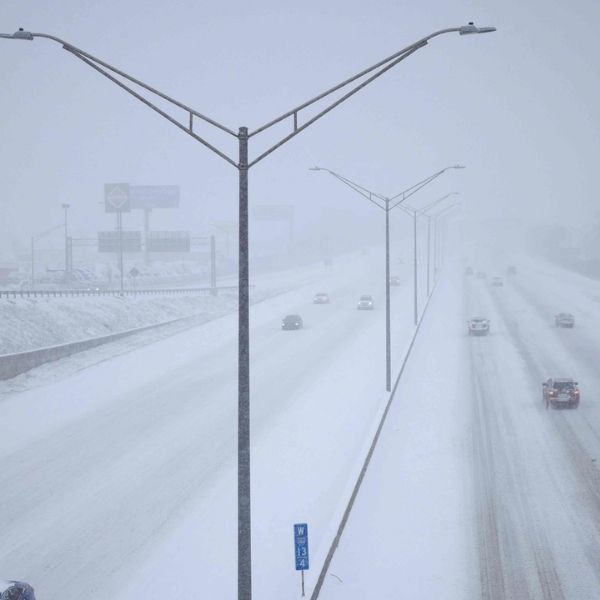
On Monday, a low-pressure system will bring widespread snow showers and even snow squalls to much of central and eastern Kentucky. Some areas could experience “thundersnow”, with bursts of heavy snow leading to poor visibility and slick roads. Highs will stay near or below freezing, and strong winds will keep wind chills in the upper teens and low 20s.
Bundle up, drive cautiously, and stay alert to updated forecasts as this winter blast moves across the Bluegrass State.
This article has been carefully fact-checked by our editorial team to ensure accuracy and eliminate any misleading information. We are committed to maintaining the highest standards of integrity in our content.


Leave a Reply