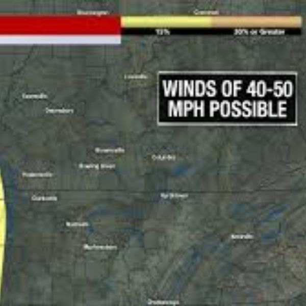
Paducah, Kentucky – Strong winds will move across western Kentucky overnight into Friday morning, with gusts reaching 35 to 40 mph that could make travel difficult for high-profile vehicles across the Quad State region.
According to the National Weather Service in Paducah, a fast-moving clipper system passing through the Great Lakes will tighten the pressure gradient across the area tonight, producing gusty southwest winds through Friday morning across western Kentucky, southern Illinois, southeast Missouri, and northwest Tennessee.
Cities including Paducah, Murray, Mayfield, Marion, Cape Girardeau, and Evansville could see the strongest winds early Friday, especially along exposed routes such as I-24, I-57, and U.S. 60.
Another stronger storm system is expected to move through the region late Sunday into Monday morning, bringing a widespread band of rain along a sharp cold front. Forecast models show between 0.5 and 1 inch of rainfall across much of the Quad State.
Forecasters say isolated thunderstorms could develop along the front, and if storms form, damaging wind gusts may occur in some areas.
As colder air moves in behind the system early Monday, rain may briefly change to light snow before ending, although ground temperatures are expected to stay warm enough to prevent major impacts.
Additional wind gusts of around 30 to 40 mph are possible from Sunday through Monday as colder air arrives. The National Weather Service said it will continue to provide updates as the storm system approaches the region.


Leave a Reply