OHIO — A significant pattern shift is unfolding across the Ohio Valley, bringing multiple rounds of heavy rain to Ohio, Indiana, Kentucky and West Virginia from Monday into Tuesday and continuing through the following week.
According to the latest Ohio River Forecast Center water outlook, widespread rainfall totals of 3 to 5 inches are forecast over the next seven days, with locally higher amounts possible in some spots. This extended stretch of wet weather is raising the flood threat across the region.
Widespread heavy rain expected across the Ohio Valley
The 7-day precipitation outlook shows a large area of substantial rainfall across:
Ohio
Indiana
Kentucky
West Virginia
Portions of Pennsylvania
Southern Illinois
Forecasters expect the heaviest totals over central and southern Ohio, much of Indiana, and northern and central Kentucky, where deeper red shading signals higher rainfall amounts.
Although the exact placement of the heaviest rain bands remains uncertain, confidence continues to grow that much of the Ohio Valley will experience multiple rounds of steady rain rather than a single storm system.
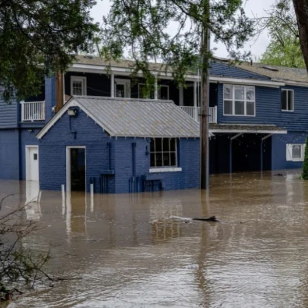
Flood threat increasing — minor to isolated moderate flooding possible
River forecast guidance shows many gauges trending toward higher levels across the basin.
The 10-day potential river level outlook points to:
Scattered minor flooding
Isolated moderate flooding
Several river locations nearing action stage
Yellow and orange indicators cover large portions of Indiana, Ohio and Kentucky, highlighting increasing concern along tributaries and mainstem rivers.
Areas with already saturated soils will face greater risk if rainfall totals reach the upper end of projections.
Timing: Monday/Tuesday through the following week
Forecasters say the pattern shift begins early in the week and could last up to two weeks.
Instead of one intense rainfall event, this setup favors:
Repeated storm systems
A persistent moisture feed
Little drying time between rounds
This pattern can gradually strain drainage systems, especially in urban areas and flood-prone river basins.
Southern Illinois also monitoring conditions
While the core of the heaviest rainfall appears centered east of Chicago, southern Illinois could still receive elevated totals and see rivers rise.
If heavier rain bands shift slightly west, parts of central and southern Illinois may also deal with localized flooding concerns.
What this means for the Midwest
Residents across the Ohio Valley should:
Monitor local river forecasts
Prepare for possible road closures in flood-prone areas
Avoid driving through water-covered roads
Even minor flooding can create hazardous travel conditions, particularly in low-lying communities.
Bottom line
Ohio, Indiana, Kentucky and West Virginia are moving into a prolonged wet pattern that could bring 3 to 5 inches of rain — and possibly more in isolated spots — over the next week.
With repeated rounds of storms expected and rivers already rising, scattered minor flooding and isolated moderate flooding are becoming increasingly likely.


Leave a Reply