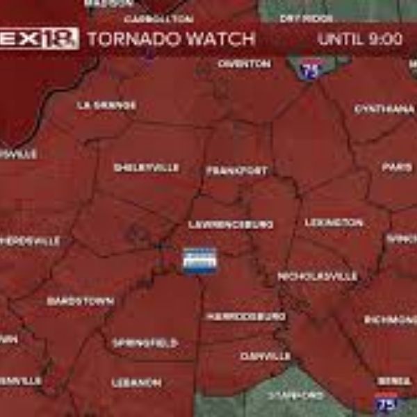
Louisville, Kentucky – Storm conditions are lining up for tornado-producing systems across central and western Kentucky this afternoon, with a Tornado Watch remaining in effect until 9 p.m. EST.
The Storm Prediction Center in Norman, Oklahoma, issued Tornado Watch 10 for more than 35 counties in Kentucky. The watch covers Jefferson and Oldham counties in the Louisville metro area, extending south and west through Hardin, Nelson, and Bullitt counties, and reaching into western Kentucky, including Daviess, Henderson, Hopkins, and Muhlenberg counties.
Cities included in the watch are Louisville, Owensboro, Bowling Green, Elizabethtown, and Frankfort. Storms developing through the late afternoon and evening could bring isolated tornadoes, wind gusts above 60 mph, and large hail. Forecasters expect the highest threat to occur between the late afternoon commute and mid-evening.
Counties along the Ohio River, such as Hancock, Union, and Webster, may experience strong rotating storms. Inland counties, including Marion, Taylor, and Mercer, should also stay alert for rapidly intensifying cells.
Residents are urged to review shelter plans now and prepare to move to an interior room on the lowest floor if warnings are issued. Keep mobile devices charged and ensure weather alerts are activated. The Tornado Watch stays in place until 9 p.m. EST, and additional warnings may follow as storms strengthen.


Leave a Reply