KENTUCKY — Kentucky has already experienced at least one significant winter weather event in 2026, and historical climate patterns suggest the state could still see additional snowfall before the season ends. However, the National Weather Service cautions that specific timing and totals cannot be predicted reliably beyond the short-term forecast window.
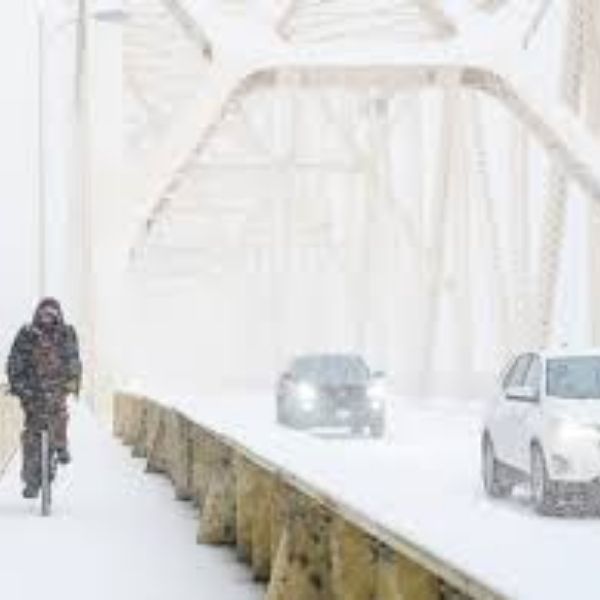
The National Weather Service office in Louisville reported a major winter storm from Jan. 24–26 that dropped 6 to 13 inches of snow and sleet across parts of northern Kentucky. Portions of central and eastern Kentucky also dealt with notable ice accumulation during the same system.
Since then, climate data show snowfall totals remain above average in some areas. As of Feb. 11, Louisville recorded 18.3 inches of snow since Dec. 1, exceeding the 1991–2020 seasonal normal for that timeframe. In western Kentucky, the National Weather Service office in Paducah reported that January 2026 snowfall was well above normal due to the late-January storm. Paducah measured 8.2 inches, making it the city’s eighth snowiest January on record.
Climatological averages indicate the opportunity for snow has not closed. In Kentucky, measurable snowfall has historically occurred in February and even March. Still, forecasters emphasize that long-range seasonal outlooks focus on temperature and overall precipitation probabilities—not specific snowfall totals—because snow depends on precise storm tracks and temperature conditions that cannot be determined weeks ahead of time.
Based on current winter data, Kentucky has already demonstrated the atmospheric setup needed for major snow and ice events. Historical trends also support the potential for more snowfall before spring arrives. Whether that materializes as one late-season storm or multiple lighter systems will depend on evolving weather patterns in the weeks ahead.


Leave a Reply