Temperatures are still on the chilly side, but conditions are milder today compared to the past several days. Even so, much colder weather is on the way, with another strong surge of Canadian and Arctic air expected to move into the region this weekend. As a result, the forecast points to a return of very cold temperatures, keeping us firmly in winter’s grip.
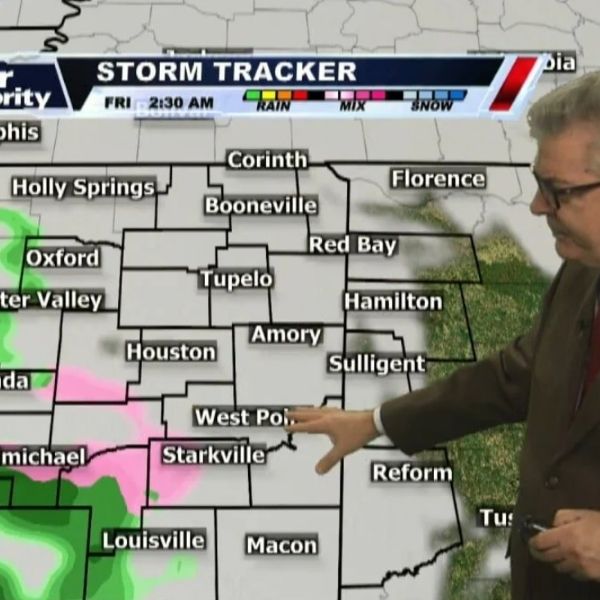
A weak area of low pressure is expected to move through late Thursday night into Friday morning. This system may bring a slight chance of mixed precipitation during that time. At this point, any wintry mix appears likely to be light and short-lived, with minimal impacts expected across the area.
This article has been carefully fact-checked by our editorial team to ensure accuracy and eliminate any misleading information. We are committed to maintaining the highest standards of integrity in our content.


Leave a Reply