Central Kentuckians are facing more winter weather before this weekend’s major storm. Some may encounter slippery roads during Wednesday morning’s commute.
The National Weather Service issued a winter weather advisory Tuesday afternoon for much of Central Kentucky and parts of southern Indiana. Freezing rain and drizzle could fall early Wednesday morning, with some snow mixing in after sunrise.
“Road temperatures are expected to be well below freezing overnight, and any precipitation will likely freeze on contact, resulting in slick road conditions,” the NWS said. “Conditions will improve by mid- to late morning as surface temperatures rise above freezing.”
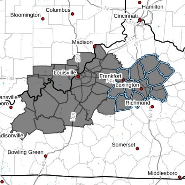
The advisory is in effect from 4 a.m. to 11 a.m. in Fayette County and surrounding areas, including Bourbon, Woodford, Scott, Clark, Mercer, and Jessamine counties.
WKYT Chief Meteorologist Chris Bailey said the precipitation is expected to start as light snow. As temperatures rise Wednesday, the mix is expected to change to rain, with Lexington’s high forecast near 42 degrees.
Attention then shifts to the weekend, when a significant winter storm is forecast to impact a large portion of the central and eastern United States. While exact snow and ice totals remain uncertain, Bailey said the storm, arriving Friday evening, could bring prolonged snow, ice, and lingering cold.


Leave a Reply