Tonight, temperatures will drop below freezing in several areas as a mix of precipitation moves in during the predawn hours. While most precipitation will be rain, some freezing rain and sleet may mix in, creating slick spots on roadways—particularly in southern parts of southeast Missouri and western Kentucky.
Ground temperatures will be below freezing between 2 a.m. and 4 a.m., though air temperatures will remain above freezing after midnight. Mist and drizzle could make some surfaces slippery, but heavier rainfall should limit widespread ice formation. By sunrise, warming temperatures should reduce the risk of ice. Afternoon highs on Wednesday are expected to reach the upper 40s. Temperatures will drop again after Thursday, with lows in the mid-20s by Friday.
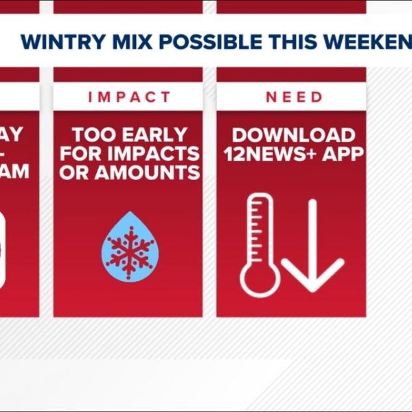
Weekend winter storm
A significant winter storm could impact the Heartland this weekend, with heavy snowfall possible. Exact amounts and timing remain uncertain, but travel is expected to be affected. Extremely cold temperatures, in the teens and single digits, will make road treatments challenging.
Current projections indicate several areas could see around 2 inches of snow, though some models suggest higher totals. Along with snowfall, expect significant travel disruptions and extreme wind chills, with some locations experiencing below-zero wind chills even during afternoon hours.


Leave a Reply