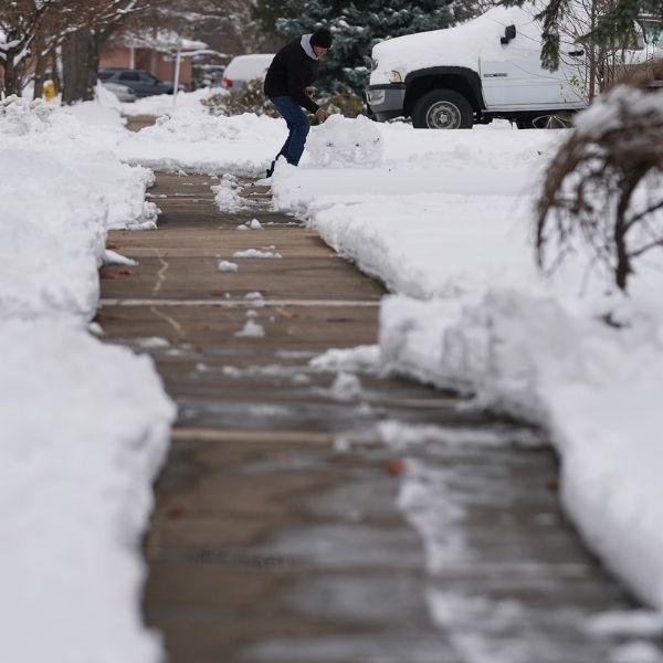
Snow enthusiasts are closely watching the forecast as western Kentucky could experience its first notable snowfall of the winter this weekend.
Although the potential winter weather event is still several days away, National Weather Service Paducah Meteorologist Andy Lesage said confidence is growing that some areas will see snow. While conditions can still change, current projections suggest western Kentucky, especially along the Tennessee border, has the best chance. Lesage noted the final outcome will depend on where the core of the system tracks.
At this point, timing appears to stretch from Friday night through Sunday morning. Forecast models are showing a wide range of possibilities, from about one inch to more than four inches of snow. Lesage said those details should become clearer in the coming days, adding that the system currently looks to be mainly a snow event with little concern for ice.
With bitterly cold temperatures expected to persist even after the system moves through, any snow that falls is likely to be light and fluffy, Lesage said.
One factor that could reduce snowfall totals is a strong high-pressure system to the north. If it shifts farther south than expected, it could delay the onset of snow and limit accumulations.
Residents are encouraged to keep monitoring updates from the National Weather Service in Paducah and the WHOP Family of Stations as more information becomes available about the approaching winter weather system.


Leave a Reply