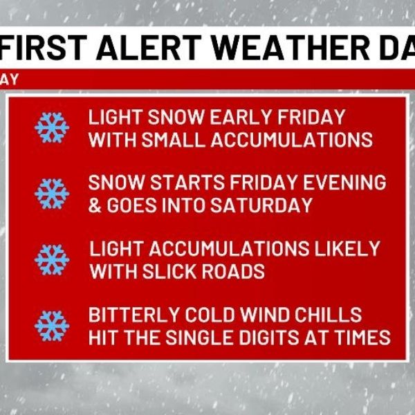
LEXINGTON, Ky. (WKYT) – Slick roads caused problems earlier today across central and eastern Kentucky due to snow squalls. Forecasters are now tracking two upcoming snow systems expected to hit the region from tonight into Saturday. The second system, Friday night into Saturday, looks increasingly likely to bring measurable snow.
A quick-hitting band of light snow will move in overnight and early Friday, tapering off as it moves east. Some areas may see light accumulations.
The more significant snow is expected Friday night into Saturday as a cold front pushes into the state with a wave of low pressure developing along it across the Tennessee Valley. The location and strength of this low will determine snowfall amounts across the region.
Following that, an arctic front will bring another round of snow showers late Saturday into early Sunday. Bitterly cold air will settle in late weekend into early next week, raising the potential for a southeastern U.S. snowstorm.
Drivers should stay alert, plan extra travel time, and monitor forecasts as these systems move in.


Leave a Reply